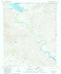
1964 Map of Horseshoe Dam
USGS Topo · Published 1986About this map
Tonto National Forest land defines this reach of the Verde River in the mid-1960s, a period when water management infrastructure was firmly established in the Arizona desert. The map captures the river as it flows between two major impoundments, beginning below the Horseshoe Dam at Horseshoe Reservoir and winding south toward the headwaters of Bartlett Reservoir.
Find a feature on this map
30 named features on this map. Tap any name to fly to it.
Don’t see what you’re looking for? This feature index may not catch every label — zoom into the map to look around manually.
Map Details
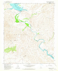
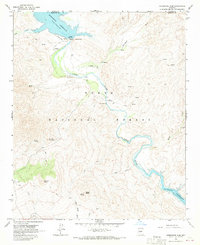
Editions of this 1964 Horseshoe Dam Map
3 editions found
Other maps of this area

1887 · Verde
USGS Topo · 1:250,000

1892 · Verde
USGS Topo · 1:250,000

1929 · Turret Peak
USGS Topo · 1:125,000

1930 · Cave Creek
USGS Topo · 1:125,000

1933 · Turret Peak
USGS Topo · 1:125,000

1939 · Cave Creek
USGS Topo · 1:125,000

1954 · Holbrook
USGS Topo · 1:250,000

1954 · Mesa
USGS Topo · 1:250,000

1957 · Mesa
USGS Topo · 1:250,000

1957 · Holbrook
USGS Topo · 1:250,000