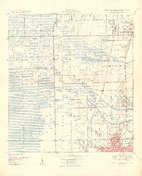
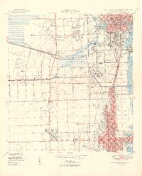
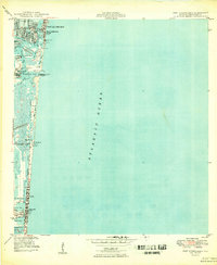
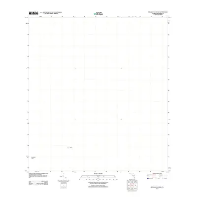
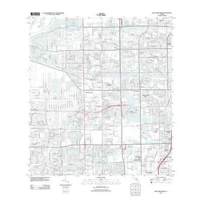
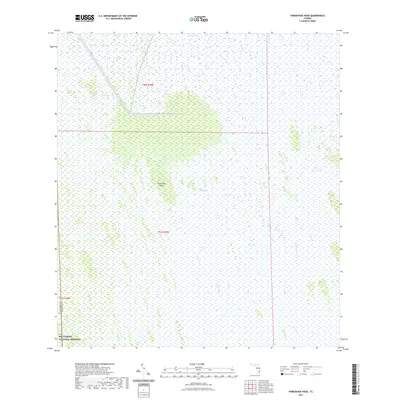
1974 Map of Horseshoe Head
USGS Topo · Published 1993About this map
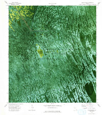
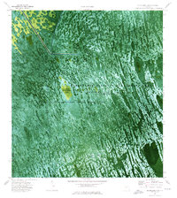
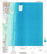
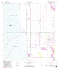
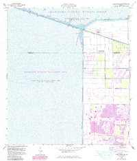
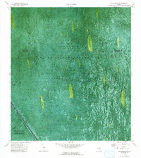
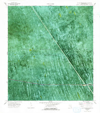
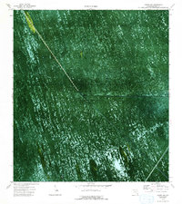
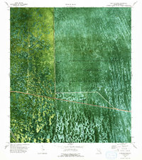
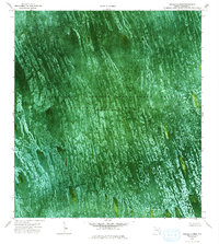
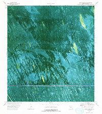
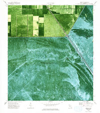
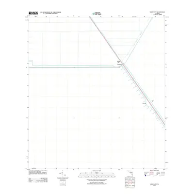
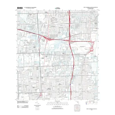
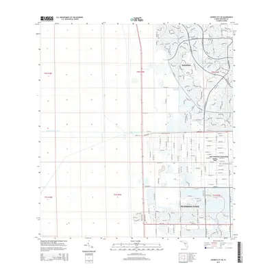
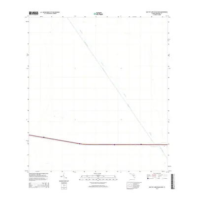
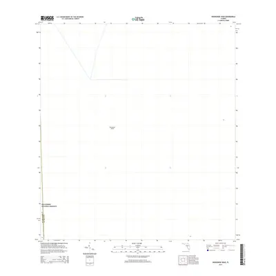
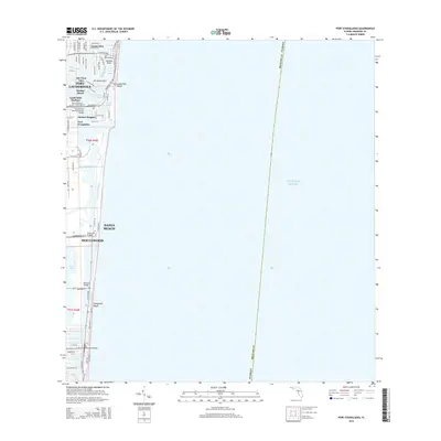
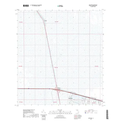
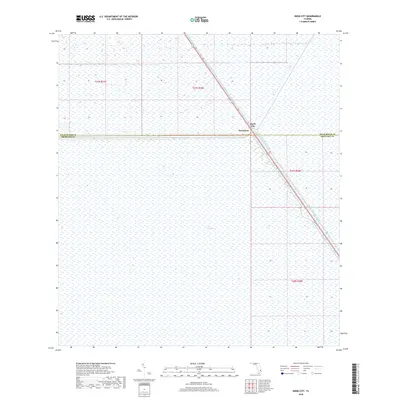
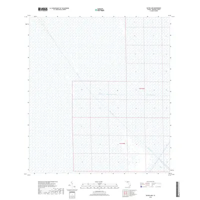
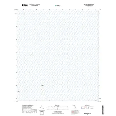
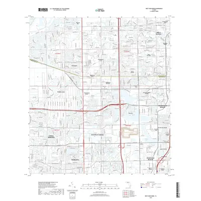
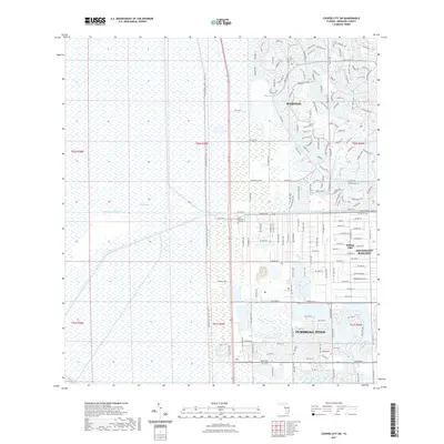
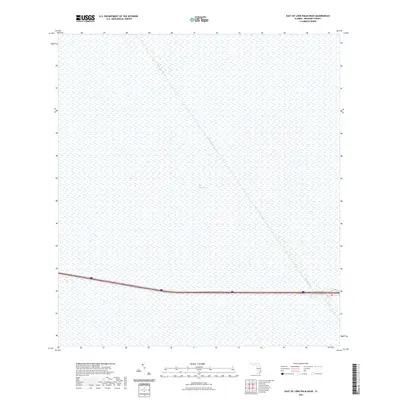
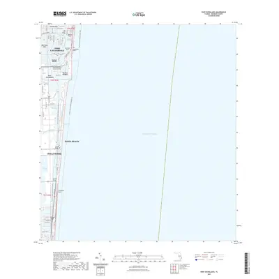
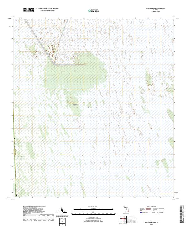
The Florida State Miccosukee Indian Reservation occupies a central portion of this 1974 orthophotomap, showing the wet, intricate landscape of the Everglades before modern expansion. This unique topographic record uses aerial photography to reveal the dense pattern of sawgrass ridges and sloughs that define the Everglades Wildlife Management Area Conservation Area No 3A. A prominent feature is Horseshoe Head, a distinct hammock or island of higher ground that stands out against the saturated terrain. Human engineering is visible through the straight lines of Levee 28 and the adjacent Canal, which border the Indefinite Boundary of the reservation. The map also records several Airboat Trails cutting through the vegetation, marking the essential transportation routes in an area where water is impounded periodically.
Find a feature on this map
9 named features on this map. Tap any name to fly to it.
Don’t see what you’re looking for? This feature index may not catch every label — zoom into the map to look around manually.
Map Details
Editions of this 1974 Horseshoe Head Map
2 editions found
Historical Maps of Broward County Through Time
116 maps found

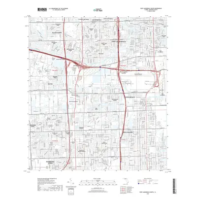
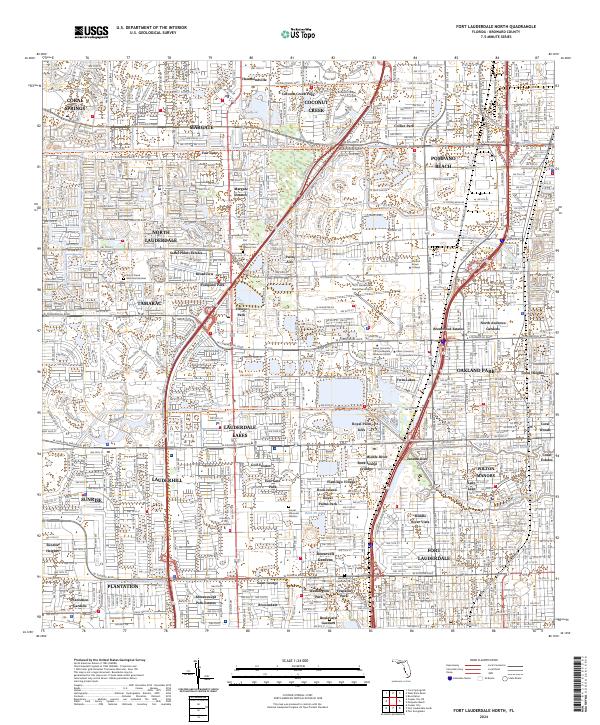
1945 Fort Lauderdale North
Broward County, FL

1946 West Dixie Bend
Broward County, FL
1949 Fort Lauderdale North
Broward County, FL
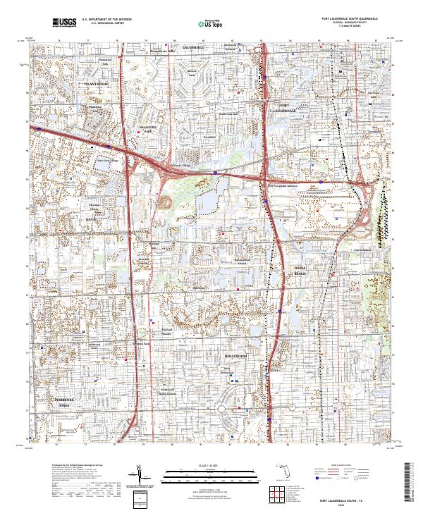
1949 Fort Lauderdale South
Broward County, FL
1949 Port Everglades
Broward County, FL
1949 West Dixie Bend
Broward County, FL
1962 Fort Lauderdale North
Broward County, FL
1962 Fort Lauderdale South
Broward County, FL
1962 Port Everglades
Broward County, FL
1962 West Dixie Bend
Broward County, FL
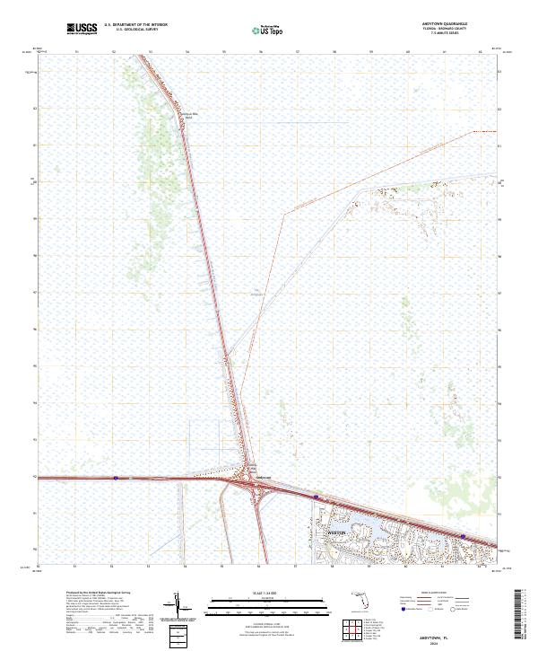
1963 Andytown
Broward County, FL
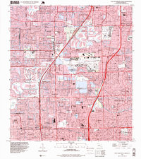
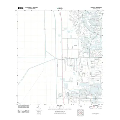
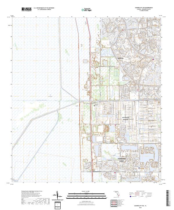
1963 Cooper City NE
Broward County, FL
1963 Cooper City SW
Broward County, FL
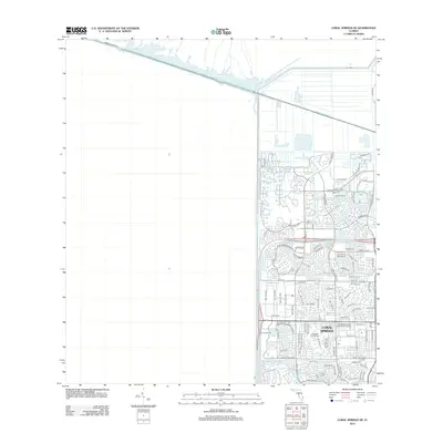
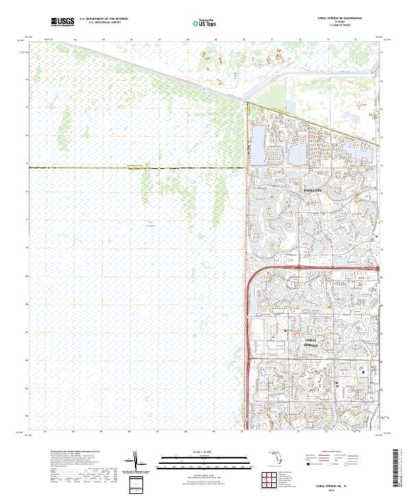
1963 Coral Springs NE
Broward County, FL
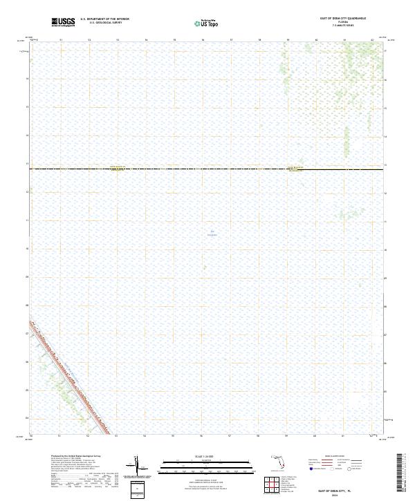
1973 East of Deem City
Broward County, FL
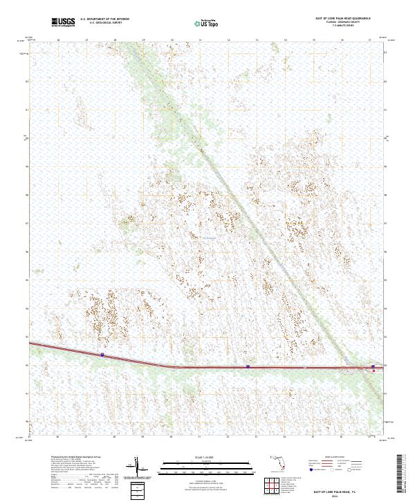
1973 East of Lone Palm Head
Broward County, FL
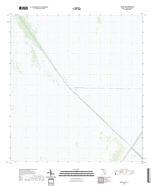
1973 Gator Lake
Broward County, FL
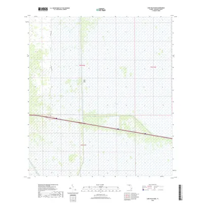
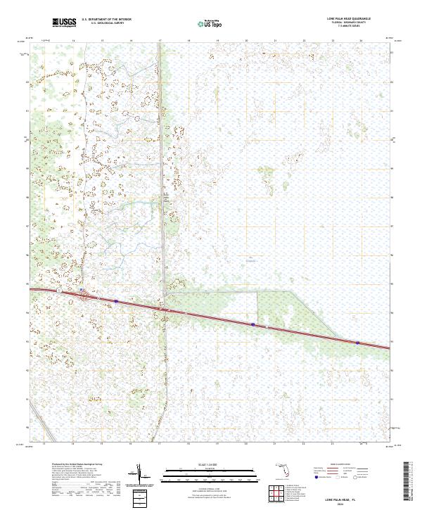
1973 Lone Palm Head
Broward County, FL
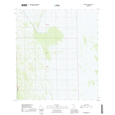
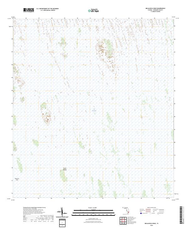
1973 Melaleuca Head
Broward County, FL
1973 South of Deem City
Broward County, FL
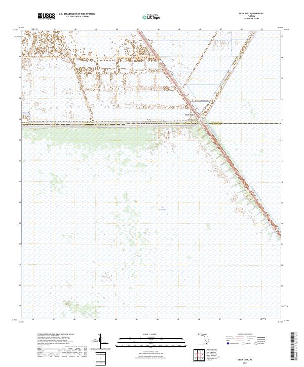
1974 Deem City
Broward County, FL
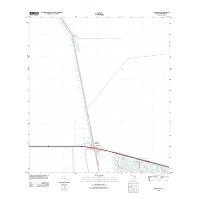
1974 Horseshoe Head
Broward County, FL
1974 North Of Lone Palm Head
Broward County, FL
1974 West Of Deem City
Broward County, FL
1994 Fort Lauderdale South
Broward County, FL
1995 Fort Lauderdale North
Broward County, FL
2012 Andytown
Broward County, FL

2012 Cooper City NE
Broward County, FL
2012 Cooper City SW
Broward County, FL
2012 Coral Springs NE
Broward County, FL
2012 Deem City
Broward County, FL
2012 East of Deem City
Broward County, FL
2012 East of Lone Palm Head
Broward County, FL
2012 Fort Lauderdale North
Broward County, FL
2012 Fort Lauderdale South
Broward County, FL
2012 Gator Lake
Broward County, FL
2012 Horseshoe Head
Broward County, FL
2012 Lone Palm Head
Broward County, FL
2012 Melaleuca Head
Broward County, FL
2012 North of Lone Palm Head
Broward County, FL
2012 Port Everglades
Broward County, FL
2012 South of Deem City
Broward County, FL
2012 West Dixie Bend
Broward County, FL
2012 West of Deem City
Broward County, FL
2015 Andytown
Broward County, FL
2015 Cooper City NE
Broward County, FL
2015 Cooper City SW
Broward County, FL
2015 Coral Springs NE
Broward County, FL
2015 Deem City
Broward County, FL
2015 East of Deem City
Broward County, FL
2015 East of Lone Palm Head
Broward County, FL
2015 Fort Lauderdale North
Broward County, FL
2015 Fort Lauderdale South
Broward County, FL
2015 Gator Lake
Broward County, FL
2015 Horseshoe Head
Broward County, FL
2015 Lone Palm Head
Broward County, FL
2015 Melaleuca Head
Broward County, FL
2015 North of Lone Palm Head
Broward County, FL
2015 Port Everglades
Broward County, FL
2015 South of Deem City
Broward County, FL
2015 West Dixie Bend
Broward County, FL
2015 West of Deem City
Broward County, FL
2018 Andytown
Broward County, FL
2018 Cooper City NE
Broward County, FL
2018 Cooper City SW
Broward County, FL
2018 Coral Springs NE
Broward County, FL
2018 Deem City
Broward County, FL
2018 East of Deem City
Broward County, FL
2018 East of Lone Palm Head
Broward County, FL
2018 Fort Lauderdale North
Broward County, FL
2018 Fort Lauderdale South
Broward County, FL
2018 Gator Lake
Broward County, FL
2018 Horseshoe Head
Broward County, FL
2018 Lone Palm Head
Broward County, FL
2018 Melaleuca Head
Broward County, FL
2018 North of Lone Palm Head
Broward County, FL
2018 Port Everglades
Broward County, FL
2018 South of Deem City
Broward County, FL
2018 West Dixie Bend
Broward County, FL
2018 West of Deem City
Broward County, FL
2021 Andytown
Broward County, FL
2021 Cooper City NE
Broward County, FL
2021 Cooper City SW
Broward County, FL
2021 Coral Springs NE
Broward County, FL
2021 Deem City
Broward County, FL
2021 East of Deem City
Broward County, FL
2021 East of Lone Palm Head
Broward County, FL
2021 Fort Lauderdale North
Broward County, FL
2021 Fort Lauderdale South
Broward County, FL
2021 Gator Lake
Broward County, FL
2021 Horseshoe Head
Broward County, FL
2021 Lone Palm Head
Broward County, FL
2021 Melaleuca Head
Broward County, FL
2021 North of Lone Palm Head
Broward County, FL
2021 Port Everglades
Broward County, FL
2021 South of Deem City
Broward County, FL
2021 West Dixie Bend
Broward County, FL
2021 West of Deem City
Broward County, FL
2024 Andytown
Broward County, FL

2024 Cooper City NE
Broward County, FL
2024 Cooper City SW
Broward County, FL
2024 Coral Springs NE
Broward County, FL
2024 Deem City
Broward County, FL
2024 East of Deem City
Broward County, FL
2024 East of Lone Palm Head
Broward County, FL
2024 Fort Lauderdale North
Broward County, FL
2024 Fort Lauderdale South
Broward County, FL
2024 Gator Lake
Broward County, FL
2024 Horseshoe Head
Broward County, FL
2024 Lone Palm Head
Broward County, FL
2024 Melaleuca Head
Broward County, FL
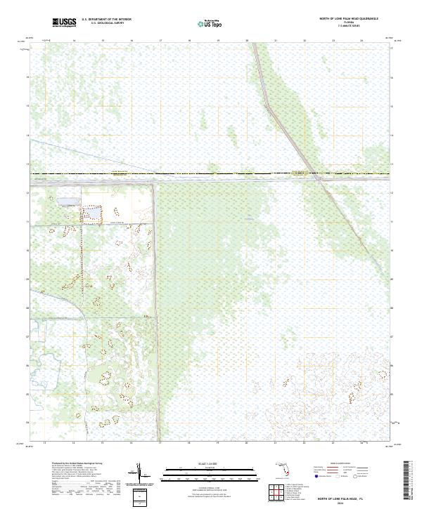
2024 North of Lone Palm Head
Broward County, FL
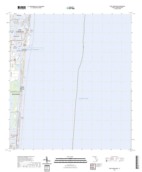
2024 Port Everglades
Broward County, FL
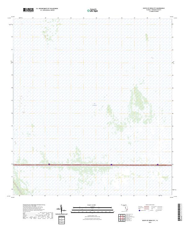
2024 South of Deem City
Broward County, FL
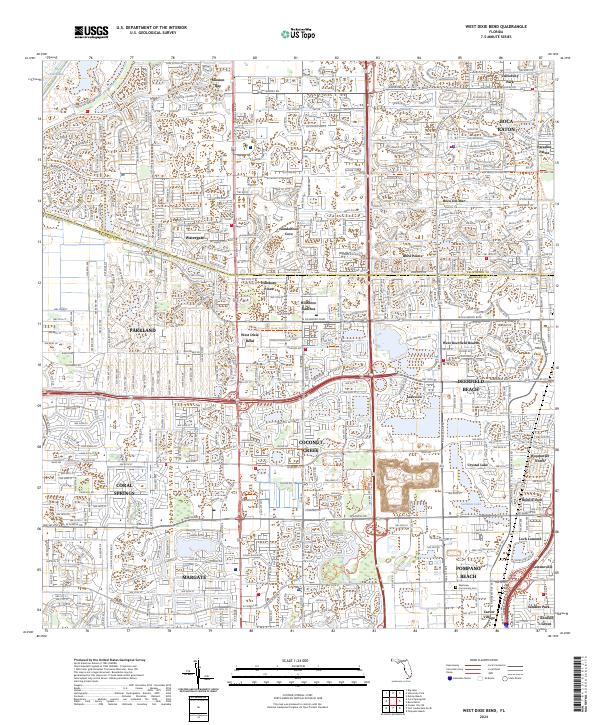
2024 West Dixie Bend
Broward County, FL
2024 West of Deem City
Broward County, FL