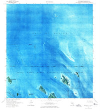
1972 Map of Horseshoe Keys
USGS Topo · Published 1973About this map
Horseshoe Keys and the surrounding shallow flats of the lower Florida Keys are captured here during a 1972 field check. This orthophotomap provides a rare visual of the intricate seafloor patterns and mangrove islands before modern environmental shifts, specifically within the overlapping boundaries of the Great White Heron National Wildlife Refuge and the National Key Deer Refuge. The chart detail emphasizes the navigable routes of the Big Spanish Channel and the Intracoastal Waterway, contrasting the deep Rocky Channel with expansive shoals like Sideboard Bank and Jack Bank. Smaller landforms such as Little Spanish Key, Crawl Key, and West Bahia Honda Key appear as isolated outposts in the Gulf of Mexico, while a solitary Dock on the eastern edge marks one of the few signs of human infrastructure in this protected wilderness.
Find a feature on this map
18 named features on this map. Tap any name to fly to it.
Don’t see what you’re looking for? This feature index may not catch every label — zoom into the map to look around manually.
Map Details
Editions of this 1972 Horseshoe Keys Map
2 editions found
Other maps of this area

1972 · Big Pine Key
USGS Topo · 1:24,000

1972 · East Bahia Honda Key
USGS Topo · 1:24,000

1972 · Horseshoe Keys
USGS Topo · 1:24,000

1972 · Content Keys
USGS Topo · 1:24,000

1972 · Sevenmile Bridge
USGS Topo · 1:24,000

1972 · Summerland Key
USGS Topo · 1:24,000

1983 · Key West
USGS Topo · 1:100,000

1989 · Key West
USGS Topo · 1:250,000
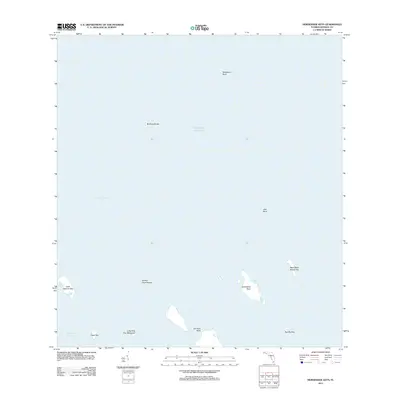
2012 · Horseshoe Keys
USGS Topo · 1:24,000
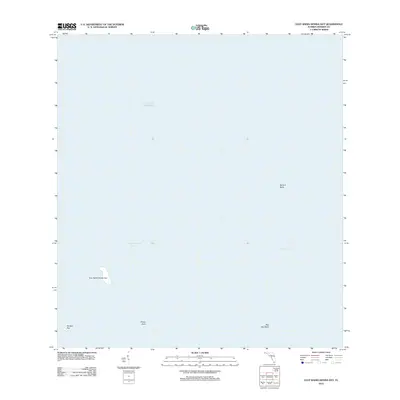
2012 · East Bahia Honda Key
USGS Topo · 1:24,000