
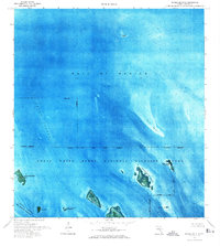
1972 Map of Horseshoe Keys
USGS Topo · Published 1973About this map
The Great White Heron National Wildlife Refuge dominates this 1970s orthophotomap, showing the delicate shallow-water environment of the Florida Keys. Unlike traditional line-drawn maps, this aerial imagery captures the shifting shoals of Jack Bank and Sideboard Bank, providing an authentic view of the submerged geography. The overlap with the National Key Deer Refuge is clearly marked by an Indefinite Boundary, illustrating the administrative layers of these protected island chains. Navigational corridors like the Big Spanish Channel and the Intracoastal Waterway thread through the archipelago, connecting small landmasses such as Johnson Key and Crawl Key. The presence of a single Dock at West Bahia Honda Key represents one of the few signs of human infrastructure in this largely natural maritime landscape.
Find a feature on this map
18 named features on this map. Tap any name to fly to it.
Don’t see what you’re looking for? This feature index may not catch every label — zoom into the map to look around manually.
Map Details
Editions of this 1972 Horseshoe Keys Map
2 editions found
Other maps of this area

1972 · Big Pine Key
USGS Topo · 1:24,000

1972 · East Bahia Honda Key
USGS Topo · 1:24,000

1972 · Content Keys
USGS Topo · 1:24,000

1972 · Sevenmile Bridge
USGS Topo · 1:24,000

1972 · Summerland Key
USGS Topo · 1:24,000

1983 · Key West
USGS Topo · 1:100,000

1989 · Key West
USGS Topo · 1:250,000
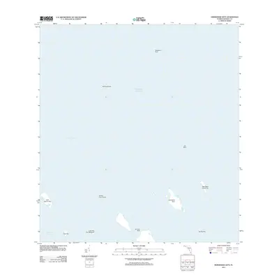
2012 · Horseshoe Keys
USGS Topo · 1:24,000
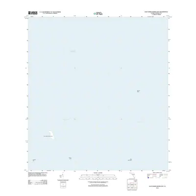
2012 · East Bahia Honda Key
USGS Topo · 1:24,000
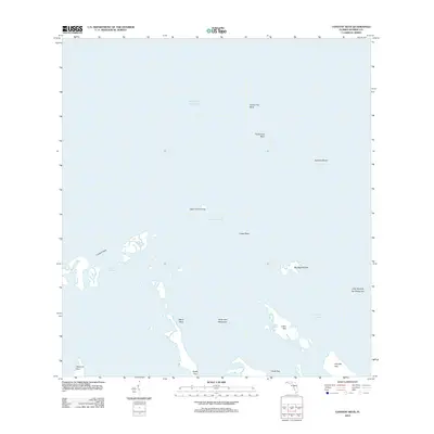
2012 · Content Keys
USGS Topo · 1:24,000