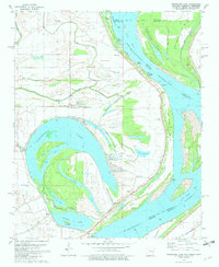
1981 Map of Horseshoe Lake
USGS Topo · Published 1982About this map
Horseshoe Lake dominates this bend of the Mississippi River, its oxbow curve defining the landscape of eastern Crittenden County. The map shows a region shaped by moving water, where numerous bayous like Fish Bayou and Zayone Bayou crisscross the lowlands between the levee and the main river channel. Small river-oriented communities and recreational spots are clustered near the water, including the Five Lakes Club, Horseshoe Lake Club, and Camp Kare Free.
Find a feature on this map
66 named features on this map. Tap any name to fly to it.
Don’t see what you’re looking for? This feature index may not catch every label — zoom into the map to look around manually.
Map Details
Editions of this 1981 Horseshoe Lake Map
2 editions found
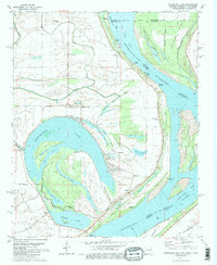
Other maps of this area

1908 · Lake Cormorant
USGS Topo · 1:24,000

1912 · Lake Cormorant
USGS Topo · 1:31,680

1916 · Memphis
USGS Topo · 1:62,500

1925 · Memphis
USGS Topo · 1:48,000

1927 · Memphis
USGS Topo · 1:62,500

1931 · Horseshoe Lake
USGS Topo · 1:62,500

1932 · Horn Lake
USGS Topo · 1:48,000

1935 · Horn Lake
USGS Topo · 1:62,500

1939 · Horseshoe Lake
USGS Topo · 1:62,500

1939 · Edmondson
USGS Topo · 1:62,500