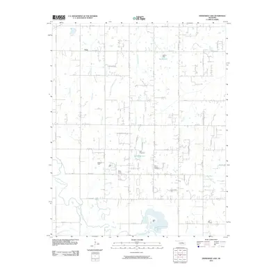
2010 Map of Horseshoe Lake
USGS Topo · Published 2010About this map
The North Canadian River winds through the southern portion of this landscape, feeding into the prominent Horseshoe Lake. This area east of Oklahoma City shows a transition from structured rural grids to localized residential pockets and aviation interests at Mission Field. Water management is a defining characteristic of the terrain, with several tributaries such as Wildhorse Creek and Smith Creek controlled by infrastructure like Booher Dam and Wolf Ridge Dam, creating small reservoirs that dot the countryside.
Find a feature on this map
48 named features on this map. Tap any name to fly to it.
Don’t see what you’re looking for? This feature index may not catch every label — zoom into the map to look around manually.
Map Details
Editions of this 2010 Horseshoe Lake Map
This is the sole edition of this map. No revisions or reprints were ever made.
Other maps of this area

1892 · Moore
USGS Topo · 1:62,500

1892 · Edmond
USGS Topo · 1:62,500

1898 · Purcell
USGS Topo · 1:125,000

1909 · Luther
USGS Topo · 1:62,500

1930 · McLoud
USGS Topo · 1:62,500

1934 · Moore
USGS Topo · 1:62,500

1935 · Edmond
USGS Topo · 1:48,000

1938 · Moore
USGS Topo · 1:62,500

1940 · Edmond
USGS Topo · 1:62,500

1954 · Oklahoma City
USGS Topo · 1:250,000