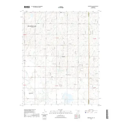
2018 Map of Horseshoe Lake
USGS Topo · Published 2018About this map
The North Canadian River meanders across this central Oklahoma landscape, defining the topography between the growing communities of Harrah and Choctaw. The area is characterized by a dense network of sectional roads like N Peebly Rd and Luther Rd, which connect rural homesteads and smaller settlements such as Poole and Luther. Water management and local recreation are evident in the numerous impoundments dotting the terrain, including the namesake Horseshoe Lake and the smaller Booher Lake. Genealogists will find significant value in the distribution of local burial grounds and spiritual centers, such as Saint Paul Baptist Cem, Saint Mary Cem, and Summit Ridge Cem. These sites, along with Mills Cem, serve as important markers of the community's ancestral heritage and settlement patterns as the outskirts of Oklahoma City continued to expand eastward.
Find a feature on this map
100 named features on this map. Tap any name to fly to it.
Don’t see what you’re looking for? This feature index may not catch every label — zoom into the map to look around manually.
Map Details
Editions of this 2018 Horseshoe Lake Map
This is the sole edition of this map. No revisions or reprints were ever made.
Other maps of this area

1892 · Moore
USGS Topo · 1:62,500

1892 · Edmond
USGS Topo · 1:62,500

1898 · Purcell
USGS Topo · 1:125,000

1909 · Luther
USGS Topo · 1:62,500

1930 · McLoud
USGS Topo · 1:62,500

1934 · Moore
USGS Topo · 1:62,500

1935 · Edmond
USGS Topo · 1:48,000

1938 · Moore
USGS Topo · 1:62,500

1940 · Edmond
USGS Topo · 1:62,500

1954 · Oklahoma City
USGS Topo · 1:250,000