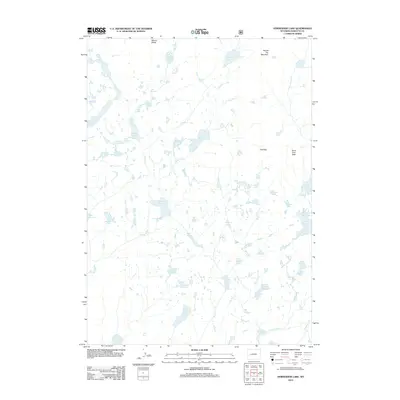
2012 Map of Horseshoe Lake
USGS Topo · Published 2012About this map
Mount Baldy and Round Top Mountain anchor the northern reaches of this Sublette County landscape, overlooking a complex drainage system defined by the N Fork Boulder Cr and Falls Cr. The 2012 topography reveals an intricate network of high-elevation water bodies, including the centrally located Horseshoe Lake and the larger Lake Ethel to the south. This environment is characterized by its numerous glacial tarns such as Lake Jacqueline, Lake Sequa, and Lake Winona, which dot the terrain between ridges like North Fork Peak.
Find a feature on this map
38 named features on this map. Tap any name to fly to it.
Don’t see what you’re looking for? This feature index may not catch every label — zoom into the map to look around manually.
Map Details
Editions of this 2012 Horseshoe Lake Map
This is the sole edition of this map. No revisions or reprints were ever made.
Other maps of this area

1909 · Fremont Peak
USGS Topo · 1:125,000

1938 · Mt Bonneville
USGS Topo · 1:62,500

1941 · Mt Bonneville
USGS Topo · 1:62,500

1942 · Mt Bonneville
USGS Topo · 1:62,500

1952 · Alpine Lake
USGS Topo · 1:24,000

1955 · Thermopolis
USGS Topo · 1:250,000

1955 · Lander
USGS Topo · 1:250,000

1958 · Lander
USGS Topo · 1:250,000

1958 · Thermopolis
USGS Topo · 1:250,000

1961 · Lander
USGS Topo · 1:250,000