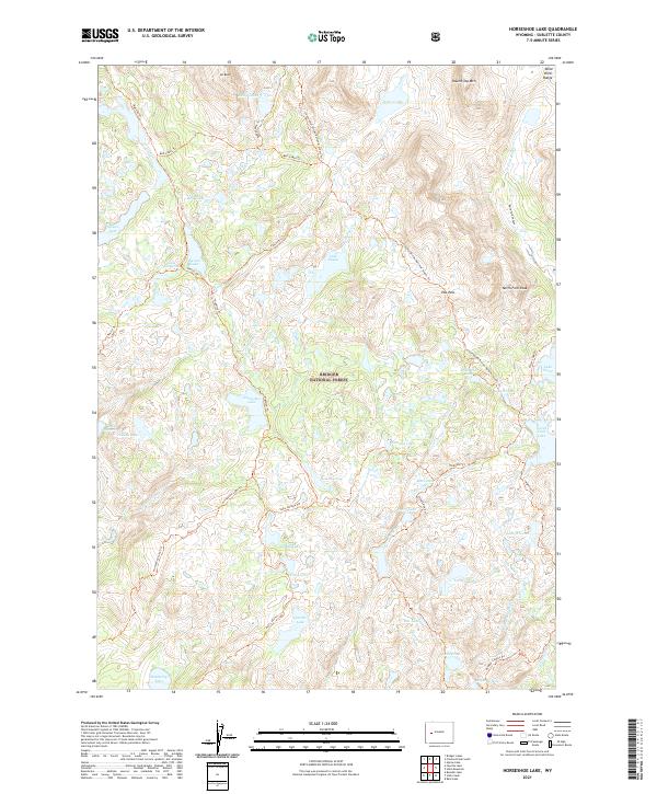
2021 Map of Horseshoe Lake
USGS Topo · Published 2021About this map
Bridger National Forest defines the high-elevation terrain of this map, dominated by glacial lakes and the alpine crests of the Wind River Range. The Continental Divide National Scenic Trail winds through the eastern half of the sheet, crossing notable landmarks like Hat Pass and passing beneath North Fork Peak. A dense network of paths, including the Highline Trail and Horseshoe Lake Trail, connects remote water bodies such as Horseshoe Lake, Lake George, and Lake Ethel.
Find a feature on this map
55 named features on this map. Tap any name to fly to it.
Don’t see what you’re looking for? This feature index may not catch every label — zoom into the map to look around manually.
Map Details
Editions of this 2021 Horseshoe Lake Map
This is the sole edition of this map. No revisions or reprints were ever made.
Other maps of this area

1909 · Fremont Peak
USGS Topo · 1:125,000

1938 · Mt Bonneville
USGS Topo · 1:62,500

1941 · Mt Bonneville
USGS Topo · 1:62,500

1942 · Mt Bonneville
USGS Topo · 1:62,500

1952 · Alpine Lake
USGS Topo · 1:24,000

1955 · Thermopolis
USGS Topo · 1:250,000

1955 · Lander
USGS Topo · 1:250,000

1958 · Lander
USGS Topo · 1:250,000

1958 · Thermopolis
USGS Topo · 1:250,000

1961 · Lander
USGS Topo · 1:250,000