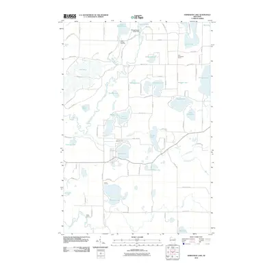
2010 Map of Horseshoe Lake
USGS Topo · Published 2010About this map
Glacial lakes and winding waterways dominate this portion of Washburn County, where the Totagatic River and Stuntz Brook carve through a landscape of dense pine and hardwood forests. The area is defined by its significant water bodies, ranging from the large expanse of Lake Nancy to the Minong Flowage 2WP252 Dam in the north. Settlement is concentrated along a network of local roads such as Nancy Lake Rd and County Hwy J, supporting seasonal residences and recreational access to the numerous shorelines.
Find a feature on this map
84 named features on this map. Tap any name to fly to it.
Don’t see what you’re looking for? This feature index may not catch every label — zoom into the map to look around manually.
Map Details
Editions of this 2010 Horseshoe Lake Map
This is the sole edition of this map. No revisions or reprints were ever made.
Other maps of this area

1947 · Minong
USGS Topo · 1:48,000

1948 · Spooner
USGS Topo · 1:48,000

1949 · Hertel
USGS Topo · 1:48,000

1949 · Minong
USGS Topo · 1:48,000

1949 · Webb Lake
USGS Topo · 1:48,000

1949 · Spooner
USGS Topo · 1:48,000

1953 · Ashland
USGS Topo · 1:250,000

1953 · Duluth
USGS Topo · 1:250,000

1953 · Rice Lake
USGS Topo · 1:250,000

1953 · Stillwater
USGS Topo · 1:250,000