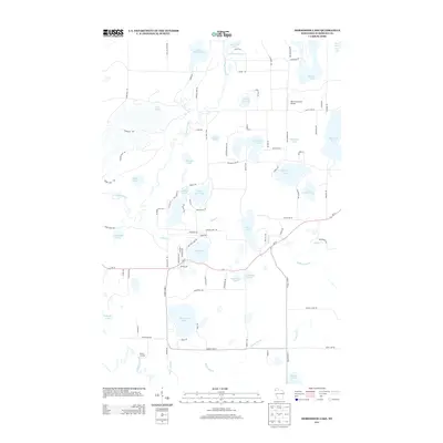
2013 Map of Horseshoe Lake
USGS Topo · Published 2013About this map
Totagatic River and the Namekagon River anchor this glacial landscape in northwestern Wisconsin. The terrain is defined by an intricate network of waterways and kettle lakes, including the substantial Minong Flowage in the north and the deep basins of Lake Nancy and Matthews Lake. The map reveals a high density of secondary roads and drives—such as Old Bass Lake Rd and Nancy Lake Rd—serving a mosaic of waterfront properties and recreational tracts.
Find a feature on this map
99 named features on this map. Tap any name to fly to it.
Don’t see what you’re looking for? This feature index may not catch every label — zoom into the map to look around manually.
Map Details
Editions of this 2013 Horseshoe Lake Map
This is the sole edition of this map. No revisions or reprints were ever made.
Other maps of this area

1947 · Minong
USGS Topo · 1:48,000

1948 · Spooner
USGS Topo · 1:48,000

1949 · Hertel
USGS Topo · 1:48,000

1949 · Minong
USGS Topo · 1:48,000

1949 · Webb Lake
USGS Topo · 1:48,000

1949 · Spooner
USGS Topo · 1:48,000

1953 · Ashland
USGS Topo · 1:250,000

1953 · Duluth
USGS Topo · 1:250,000

1953 · Rice Lake
USGS Topo · 1:250,000

1953 · Stillwater
USGS Topo · 1:250,000