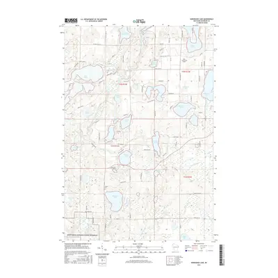
2015 Map of Horseshoe Lake
USGS Topo · Published 2015About this map
The Totagatic River and its various flowages define the north-central Wisconsin landscape of Washburn County. This region is a dense network of glacial water bodies, from the large Lake Nancy and Chicog Lake to the secluded Cloverleaf Lake and Adventure Lake. Local history is anchored by the Chicog Cem and the Ben Sutherland Airport situated near Gilmore Lake. The southern edge of the survey area includes the protected corridor of the Saint Croix National Scenic Riverway as it follows the Namekagon River. Local transit relies on a grid of county roads and named trails like St Croix Trail Rd and Old Log Cabin Rd, which provide access to family-owned parcels and lakeside developments. The drainage pattern of Chicog Cr and Stuntz Brook highlights the complex hydrology that has historically shaped the settlement of this northwoods territory.
Find a feature on this map
96 named features on this map. Tap any name to fly to it.
Don’t see what you’re looking for? This feature index may not catch every label — zoom into the map to look around manually.
Map Details
Editions of this 2015 Horseshoe Lake Map
This is the sole edition of this map. No revisions or reprints were ever made.
Other maps of this area

1947 · Minong
USGS Topo · 1:48,000

1948 · Spooner
USGS Topo · 1:48,000

1949 · Hertel
USGS Topo · 1:48,000

1949 · Minong
USGS Topo · 1:48,000

1949 · Webb Lake
USGS Topo · 1:48,000

1949 · Spooner
USGS Topo · 1:48,000

1953 · Ashland
USGS Topo · 1:250,000

1953 · Duluth
USGS Topo · 1:250,000

1953 · Rice Lake
USGS Topo · 1:250,000

1953 · Stillwater
USGS Topo · 1:250,000