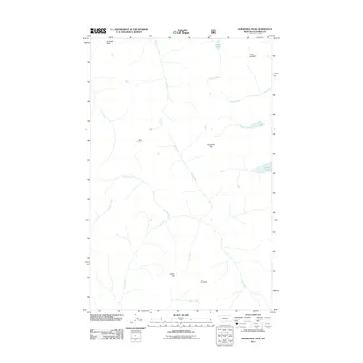
2011 Map of Horseshoe Peak
USGS Topo · Published 2011About this map
Hematite Peak and Trinity Mountain anchor the high elevations of this Flathead County landscape, where an intricate network of alpine drainages defines the area's geography. The map reveals a cluster of small mountain lakes including Castle Lake, Bradley Lake, and Flotilla Lake, which serve as headwaters for various tributaries. Multiple named summits, from the central Horseshoe Peak to the southern Condor Peak and Spy Mountain, provide fixed points for navigating this undeveloped portion of the Montana wilderness.
Find a feature on this map
20 named features on this map. Tap any name to fly to it.
Don’t see what you’re looking for? This feature index may not catch every label — zoom into the map to look around manually.
Map Details
Editions of this 2011 Horseshoe Peak Map
This is the sole edition of this map. No revisions or reprints were ever made.
Other maps of this area

1913 · Marias Pass
USGS Topo · 1:125,000

1914 · Nyack
USGS Topo · 1:125,000

1936 · Silvertip
USGS Topo · 1:96,000

1942 · Silvertip
USGS Topo · 1:125,000

1955 · Choteau
USGS Topo · 1:250,000

1957 · Choteau
USGS Topo · 1:250,000

1958 · Choteau
USGS Topo · 1:250,000

1958 · Red Plume Mountain
USGS Topo · 1:24,000

1958 · Capitol Mountain
USGS Topo · 1:24,000

1958 · Circus Peak
USGS Topo · 1:24,000