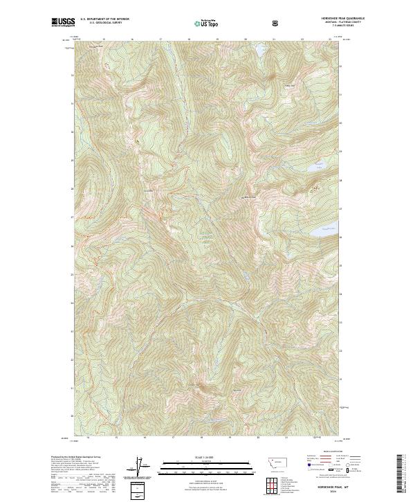
2024 Map of Horseshoe Peak
USGS Topo · Published 2024About this map
Great Bear Wilderness and Flathead National Forest dominate this high-elevation terrain in Flathead County, defined by a complex network of summits and drainage basins. High points like Hematite Peak, Trinity Mtn, and the central Horseshoe Peak anchor the geography, while the landscape is carved by numerous watercourses including Bradley Creek, Spy Creek, and Tanner Creek. The map reveals a remote environment where human presence is marked primarily by a sophisticated system of backcountry trails. Routes such as the Bradley Lake Trl, Spy Mtn Trl, and Upper Twin Creek Trl provide the only access through these steep contours, connecting remote water bodies like Castle Lake and Flotilla Lake. The absence of roads or permanent settlements highlights the preserved, primitive character of this section of the Rocky Mountains.
Find a feature on this map
36 named features on this map. Tap any name to fly to it.
Don’t see what you’re looking for? This feature index may not catch every label — zoom into the map to look around manually.
Map Details
Editions of this 2024 Horseshoe Peak Map
This is the sole edition of this map. No revisions or reprints were ever made.
Other maps of this area

1913 · Marias Pass
USGS Topo · 1:125,000

1914 · Nyack
USGS Topo · 1:125,000

1936 · Silvertip
USGS Topo · 1:96,000

1942 · Silvertip
USGS Topo · 1:125,000

1955 · Choteau
USGS Topo · 1:250,000

1957 · Choteau
USGS Topo · 1:250,000

1958 · Choteau
USGS Topo · 1:250,000

1958 · Red Plume Mountain
USGS Topo · 1:24,000

1958 · Capitol Mountain
USGS Topo · 1:24,000

1958 · Circus Peak
USGS Topo · 1:24,000