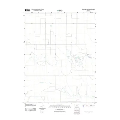
2012 Map of Horsethief Draw NE
USGS Topo · Published 2012About this map
Fairview Cem stands as a quiet marker of local history in the southwest corner of this High Plains landscape, where the township transitions between flat agricultural sections and the complex drainage of the N Fork Smoky Hill River. The river's meandering course dominates the central terrain, eventually feeding into the Sherman County State Lake, a significant water feature in this otherwise semi-arid environment. The mapping reveals a strictly organized section-line road network, including Co RD 58 and Road 57, which contrasts with the natural, winding paths of N Fork Lake Cr and Sandy Cr. This intersection of human geometry and riparian hydrology illustrates the ongoing adaptation of land use in western Kansas during the early 21st century.
Find a feature on this map
15 named features on this map. Tap any name to fly to it.
Don’t see what you’re looking for? This feature index may not catch every label — zoom into the map to look around manually.
Map Details
Editions of this 2012 Horsethief Draw NE Map
This is the sole edition of this map. No revisions or reprints were ever made.
Other maps of this area

1954 · Goodland
USGS Topo · 1:250,000

1956 · Goodland
USGS Topo · 1:250,000

1957 · Goodland
USGS Topo · 1:250,000

1959 · Harris Draw
USGS Topo · 1:62,500

1959 · Horsethief Draw
USGS Topo · 1:62,500

1966 · Goodland
USGS Topo · 1:24,000

1966 · Ruleton
USGS Topo · 1:24,000
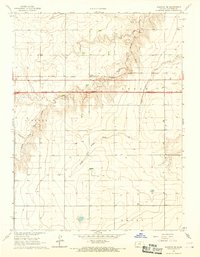
1966 · Ruleton SE
USGS Topo · 1:24,000
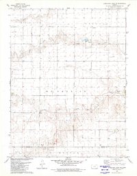
1979 · Horsethief Draw NW
USGS Topo · 1:24,000
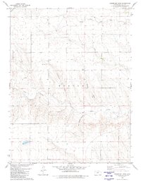
1979 · Horsethief Draw
USGS Topo · 1:24,000