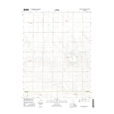
2015 Map of Horsethief Draw NE
USGS Topo · Published 2015About this map
N Fork Smoky Hill River carves a winding path through this western Kansas landscape, where the high plains terrain descends into a network of draws and creek beds. The drainage systems of the N Fork Lake Cr and the river dominate the topography, illustrating the erosional patterns of the High Plains. While the area is largely defined by its natural hydrology, human presence is marked by the rectilinear grid of county roads such as Co RD 57 and Co RD 12, which traverse the open country. A significant local landmark, the Sherman County State Lake, sits along the river's path, providing a rare point of managed water in an otherwise semi-arid environment. Near the southern boundary in Wallace County, the Fairview Cem stands as a quiet marker of the region's homesteading history, situated just south of the line dividing Sherman and Wallace counties.
Find a feature on this map
25 named features on this map. Tap any name to fly to it.
Don’t see what you’re looking for? This feature index may not catch every label — zoom into the map to look around manually.
Map Details
Editions of this 2015 Horsethief Draw NE Map
This is the sole edition of this map. No revisions or reprints were ever made.
Other maps of this area

1954 · Goodland
USGS Topo · 1:250,000

1956 · Goodland
USGS Topo · 1:250,000

1957 · Goodland
USGS Topo · 1:250,000

1959 · Harris Draw
USGS Topo · 1:62,500

1959 · Horsethief Draw
USGS Topo · 1:62,500

1966 · Goodland
USGS Topo · 1:24,000

1966 · Ruleton
USGS Topo · 1:24,000
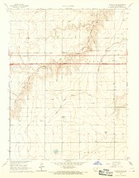
1966 · Ruleton SE
USGS Topo · 1:24,000
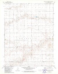
1979 · Horsethief Draw NW
USGS Topo · 1:24,000
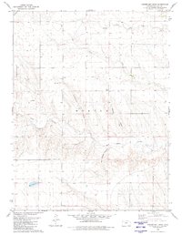
1979 · Horsethief Draw
USGS Topo · 1:24,000