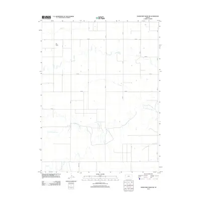
2012 Map of Horsethief Draw NW
USGS Topo · Published 2012About this map
High plains prairie and the dendritic drainage of Sappa Cr characterize this portion of Wallace County as it appeared in 2012. The landscape is defined by the rigid geometry of sectional road grids, including long stretches like Road 57 and Road 54, which cut across the subtle topography of the Kansas interior. While largely composed of open agricultural land, the survey traces the delicate path of intermittent watercourses that have historically shaped the settlement patterns of Weskan Township. This modern digital survey provides a clear view of the rural infrastructure, capturing the layout of remote ranch roads and drainage systems that sustain the local cattle and farming economy on the edge of the state.
Find a feature on this map
1 named feature on this map. Tap any name to fly to it.
Don’t see what you’re looking for? This feature index may not catch every label — zoom into the map to look around manually.
Map Details
Editions of this 2012 Horsethief Draw NW Map
This is the sole edition of this map. No revisions or reprints were ever made.
Other maps of this area

1954 · Limon
USGS Topo · 1:250,000

1954 · Goodland
USGS Topo · 1:250,000

1956 · Goodland
USGS Topo · 1:250,000

1957 · Limon
USGS Topo · 1:250,000

1957 · Goodland
USGS Topo · 1:250,000

1958 · Limon
USGS Topo · 1:250,000

1959 · Horsethief Draw
USGS Topo · 1:62,500

1966 · Ruleton
USGS Topo · 1:24,000
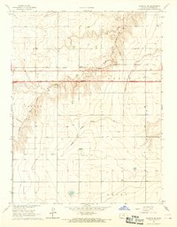
1966 · Ruleton SE
USGS Topo · 1:24,000
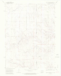
1969 · Mount Sunflower
USGS Topo · 1:24,000