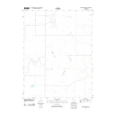
2009 Map of Horsethief Draw
USGS Topo · Published 2009About this map
Horsethief Draw and Meyers Draw cut through the High Plains landscape of Wallace County, defining a region where water management and road networks are central to life. This 2009 survey by the U.S. Geological Survey illustrates a sparsely populated corner of Kansas near the Colorado border, where the land is organized by a precise grid of rural routes like Wa W CC and RD Wa-W-BB. The presence of ephemeral and semi-permanent water features such as Big Lagoon and Salt Grass Canyon reflects the delicate hydrography of the shortgrass prairie.
Find a feature on this map
17 named features on this map. Tap any name to fly to it.
Don’t see what you’re looking for? This feature index may not catch every label — zoom into the map to look around manually.
Map Details
Editions of this 2009 Horsethief Draw Map
This is the sole edition of this map. No revisions or reprints were ever made.
Other maps of this area

1892 · Cheyenne Wells
USGS Topo · 1:125,000

1894 · Cheyenne Wells
USGS Topo · 1:125,000

1954 · Limon
USGS Topo · 1:250,000

1954 · Lamar
USGS Topo · 1:250,000

1954 · Goodland
USGS Topo · 1:250,000

1955 · Scott City
USGS Topo · 1:250,000

1956 · Goodland
USGS Topo · 1:250,000

1957 · Limon
USGS Topo · 1:250,000

1957 · Goodland
USGS Topo · 1:250,000

1958 · Limon
USGS Topo · 1:250,000