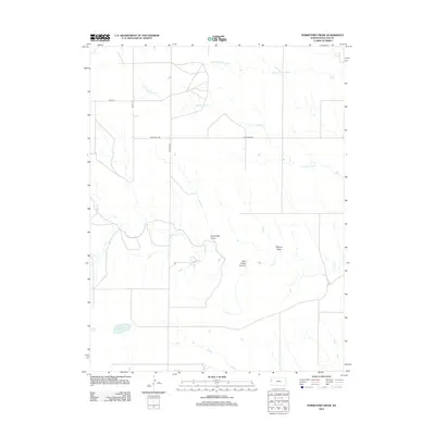
2012 Map of Horsethief Draw
USGS Topo · Published 2012About this map
Horsethief Draw carves through the high plains of Wallace County in this 2012 topographic record of the Kansas landscape. The area is defined by a dendritic network of seasonal drainages and draws, including Meyers Draw and the uniquely named Salt Grass Canyon. Water management and natural catchment are evident in features like Big Lagoon and the various forks of Lake Creek.
Find a feature on this map
12 named features on this map. Tap any name to fly to it.
Don’t see what you’re looking for? This feature index may not catch every label — zoom into the map to look around manually.
Map Details
Editions of this 2012 Horsethief Draw Map
This is the sole edition of this map. No revisions or reprints were ever made.
Other maps of this area

1892 · Cheyenne Wells
USGS Topo · 1:125,000

1894 · Cheyenne Wells
USGS Topo · 1:125,000

1954 · Limon
USGS Topo · 1:250,000

1954 · Lamar
USGS Topo · 1:250,000

1954 · Goodland
USGS Topo · 1:250,000

1955 · Scott City
USGS Topo · 1:250,000

1956 · Goodland
USGS Topo · 1:250,000

1957 · Limon
USGS Topo · 1:250,000

1957 · Goodland
USGS Topo · 1:250,000

1958 · Limon
USGS Topo · 1:250,000