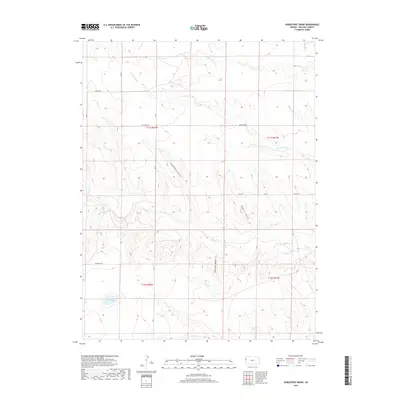
2018 Map of Horsethief Draw
USGS Topo · Published 2018About this map
Horsethief Draw carves a path through the high plains of western Kansas, where the landscape is defined by its subtle drainage networks and straight-line section roads. This portion of Wallace County is drained by the waters of Goose Cr, S Fork Lake Cr, and Middle Fork Lake Cr, creating a series of topographic breaks in an otherwise vast prairie. Local landmarks like Big Lagoon and Salt Grass Canyon provide focal points for a landscape that remains largely rural and agricultural. The grid-based settlement pattern is etched into the earth by a network of descriptive routes, from the curiously named Zigzag Rd to Blue Bird Rd and Xpressway Rd. These paths navigate the transitions between the uplands and the eroded gullies of Meyers Draw, reflecting the enduring surveyor's grid of the public land system.
Find a feature on this map
20 named features on this map. Tap any name to fly to it.
Don’t see what you’re looking for? This feature index may not catch every label — zoom into the map to look around manually.
Map Details
Editions of this 2018 Horsethief Draw Map
This is the sole edition of this map. No revisions or reprints were ever made.
Other maps of this area

1892 · Cheyenne Wells
USGS Topo · 1:125,000

1894 · Cheyenne Wells
USGS Topo · 1:125,000

1954 · Limon
USGS Topo · 1:250,000

1954 · Lamar
USGS Topo · 1:250,000

1954 · Goodland
USGS Topo · 1:250,000

1955 · Scott City
USGS Topo · 1:250,000

1956 · Goodland
USGS Topo · 1:250,000

1957 · Limon
USGS Topo · 1:250,000

1957 · Goodland
USGS Topo · 1:250,000

1958 · Limon
USGS Topo · 1:250,000