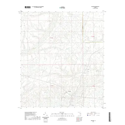
2021 Map of Hosford
USGS Topo · Published 2021About this map
Hosford serves as the central hub of this Liberty County landscape, where the local road network converges near the southern edge of the quadrangle. The terrain is defined by an intricate system of creeks and wetlands, including the extensive reach of White Panther Cr and the unique swampy depression known as Bumpy Bay. These watercourses, such as Telogia Cr and Ocklawaha Cr, dictate the movement and settlement patterns of the region, flowing through a heavily forested environment. To the northeast, the small settlement of Lowry sits near the Kent Cem, illustrating the quiet, rural character of the Florida Panhandle during this period. Local history is etched into the landscape through family-named roads like NE Mannie Rudd Rd and NE Granny Annie Rd, which connect the scattered homesteads and small-scale agricultural clearings to the primary arteries of Co RD 1641 and Co RD 267.
Find a feature on this map
33 named features on this map. Tap any name to fly to it.
Don’t see what you’re looking for? This feature index may not catch every label — zoom into the map to look around manually.
Map Details
Editions of this 2021 Hosford Map
This is the sole edition of this map. No revisions or reprints were ever made.
Other maps of this area

1943 · Lake Talquin
USGS Topo · 1:62,500

1945 · Hosford
USGS Topo · 1:31,680

1945 · Bristol
USGS Topo · 1:31,680

1945 · Woods
USGS Topo · 1:31,680

1945 · Telogia
USGS Topo · 1:24,000

1946 · Telogia
USGS Topo · 1:31,680

1954 · Tallahassee
USGS Topo · 1:250,000

1955 · Rock Bluff
USGS Topo · 1:24,000

1955 · Sycamore
USGS Topo · 1:24,000

1959 · Tallahassee
USGS Topo · 1:250,000