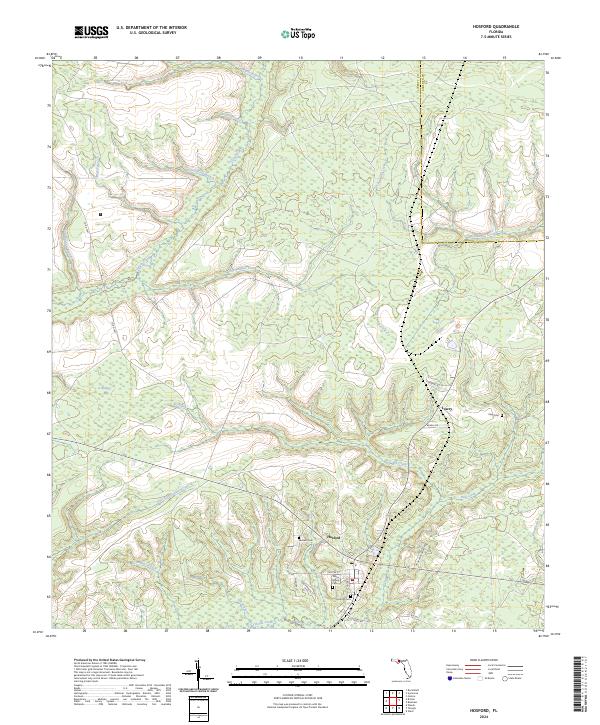
2024 Map of Hosford
USGS Topo · Published 2024About this map
Hosford serves as the primary hub in this Liberty County landscape, where small-town streets like Chester St and Schuler St meet the rural countryside. The area is defined by an intricate network of waterways, including the winding Telogia Creek and Ocklawaha Creek, which carve through the timbered terrain. Several small family burial grounds are tucked away in the piney woods, such as the Elkins Family Cem and Sanders Cem, providing essential points of interest for local genealogical research. To the north, the terrain transitions into the distinct depressions of Bumpy Bay, while numerous named branches like Shanty Ford Branch and East Minnow Branch drain the surrounding slopes. The small settlement of Lowry sits near the eastern edge, connected by local routes like Ne Granny Annie Rd that follow the natural contours of the Florida Panhandle's inland forests.
Find a feature on this map
37 named features on this map. Tap any name to fly to it.
Don’t see what you’re looking for? This feature index may not catch every label — zoom into the map to look around manually.
Map Details
Editions of this 2024 Hosford Map
This is the sole edition of this map. No revisions or reprints were ever made.
Other maps of this area

1943 · Lake Talquin
USGS Topo · 1:62,500

1945 · Hosford
USGS Topo · 1:31,680

1945 · Bristol
USGS Topo · 1:31,680

1945 · Woods
USGS Topo · 1:31,680

1945 · Telogia
USGS Topo · 1:24,000

1946 · Telogia
USGS Topo · 1:31,680

1954 · Tallahassee
USGS Topo · 1:250,000

1955 · Rock Bluff
USGS Topo · 1:24,000

1955 · Sycamore
USGS Topo · 1:24,000

1959 · Tallahassee
USGS Topo · 1:250,000