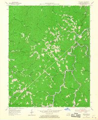
1954 Map of Hoskinston
USGS Topo · Published 1968About this map
Hoskinston and the surrounding hollows of Leslie County appear in this 1950s survey as a landscape defined by narrow valley settlements and a dense network of mountain schools. The Middle Fork Kentucky River and Greasy Creek serve as the primary arteries for local life, with small communities like Stinnett and Asher clustered along their banks. This era of eastern Kentucky history is marked by the presence of numerous small educational outposts, including Stinnett High Sch, Muncy Creek Sch, and the Upper Trace Branch Sch, reflecting the logistical challenges of the high-relief terrain.
Find a feature on this map
64 named features on this map. Tap any name to fly to it.
Don’t see what you’re looking for? This feature index may not catch every label — zoom into the map to look around manually.
Map Details
Editions of this 1954 Hoskinston Map
2 editions found

Other maps of this area

1886 · Cumberland Gap
USGS Topo · 1:125,000

1887 · Jonesville
USGS Topo · 1:125,000

1888 · Cumberland Gap
USGS Topo · 1:125,000

1891 · Manchester
USGS Topo · 1:125,000

1891 · Cumberland Gap
USGS Topo · 1:125,000

1891 · Hazard
USGS Topo · 1:125,000

1891 · Jonesville
USGS Topo · 1:125,000

1903 · Harlan
USGS Topo · 1:48,000

1903 · Pineville
USGS Topo · 1:48,000

1916 · Harlan
USGS Topo · 1:48,000