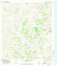
1967 Map of Hospital Ranch
USGS Topo · Published 1983About this map
Hospital Ranch and several other family-named ranching outposts define the character of this West Texas landscape along the Crockett Co Sutton Co boundary. This area is shaped by a complex network of seasonal drainages, including Willow Draw, Glasscock Draw, and Granger Draw, which carve through the high ground. The presence of numerous Gravel Pits and various pipelines indicates the local industry and resource extraction occurring alongside traditional land use during the mid-to-late 20th century.
Find a feature on this map
23 named features on this map. Tap any name to fly to it.
Don’t see what you’re looking for? This feature index may not catch every label — zoom into the map to look around manually.
Map Details
Editions of this 1967 Hospital Ranch Map
2 editions found
Other maps of this area

1954 · Sonora
USGS Topo · 1:250,000

1958 · Sonora
USGS Topo · 1:250,000

1967 · Nolen Draw
USGS Topo · 1:24,000

1967 · Savell Ranch
USGS Topo · 1:24,000

1967 · Ozona SE
USGS Topo · 1:24,000

1967 · Shafter Draw
USGS Topo · 1:24,000

1967 · Crockett Heights
USGS Topo · 1:24,000

1967 · Hudspeth Draw
USGS Topo · 1:24,000

1967 · Caverns Of Sonora
USGS Topo · 1:24,000
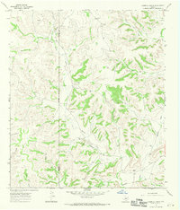
1967 · Hospital Ranch
USGS Topo · 1:24,000