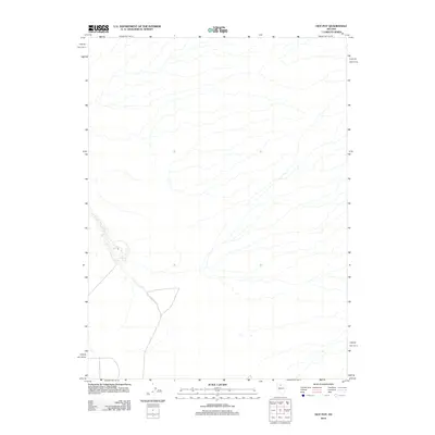
2012 Map of Hot Pot
USGS Topo · Published 2012About this map
Hot Pot and a cluster of Hot Springs define this arid landscape in Humboldt County, where thermal activity is the primary geographical marker. This 2012 survey by the U.S. Geological Survey reveals a sparse terrain dominated by subtle contour lines and seasonal drainage patterns. The presence of these specific geothermal features suggests a site of geological interest in the Nevada desert, offering a clear view of the natural water sources that have historically influenced movement and activity in this high-desert environment. The map provides a contemporary record of these specific landmarks within a region otherwise characterized by its isolation.
Find a feature on this map
2 named features on this map. Tap any name to fly to it.
Don’t see what you’re looking for? This feature index may not catch every label — zoom into the map to look around manually.
Map Details
Editions of this 2012 Hot Pot Map
This is the sole edition of this map. No revisions or reprints were ever made.
Other maps of this area

1882 · Paradise
USGS Topo · 1:250,000

1893 · Paradise
USGS Topo · 1:250,000

1932 · Sonoma Range
USGS Topo · 1:250,000

1939 · Sonoma Range
USGS Topo · 1:250,000

1955 · McDermitt
USGS Topo · 1:250,000

1955 · Winnemucca
USGS Topo · 1:250,000

1958 · Winnemucca
USGS Topo · 1:250,000

1959 · McDermitt
USGS Topo · 1:250,000

1962 · Winnemucca
USGS Topo · 1:250,000

1965 · Knight
USGS Topo · 1:24,000