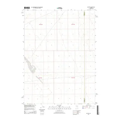
2015 Map of Hot Pot
USGS Topo · Published 2015About this map
Hot Pot and a nearby Hot Spring define this high-desert basin along the border of Humboldt and Lander Counties. The landscape is dominated by the geothermal features of the Great Basin, where natural springs and ponds contrast with the arid terrain. The map provides precise detail of the desert floor, showing the complex network of 4WD tracks and trails that intersect the Public Land Survey System grids of t36n r43e, t36n r44e, t35n r43e, and t35n r44e. This edition documents the remote interface between the two counties, capturing the region's hydrography and topography in its modern state before further geothermal or industrial shifts.
Find a feature on this map
7 named features on this map. Tap any name to fly to it.
Don’t see what you’re looking for? This feature index may not catch every label — zoom into the map to look around manually.
Map Details
Editions of this 2015 Hot Pot Map
This is the sole edition of this map. No revisions or reprints were ever made.
Other maps of this area

1882 · Paradise
USGS Topo · 1:250,000

1893 · Paradise
USGS Topo · 1:250,000

1932 · Sonoma Range
USGS Topo · 1:250,000

1939 · Sonoma Range
USGS Topo · 1:250,000

1955 · McDermitt
USGS Topo · 1:250,000

1955 · Winnemucca
USGS Topo · 1:250,000

1958 · Winnemucca
USGS Topo · 1:250,000

1959 · McDermitt
USGS Topo · 1:250,000

1962 · Winnemucca
USGS Topo · 1:250,000

1965 · Knight
USGS Topo · 1:24,000