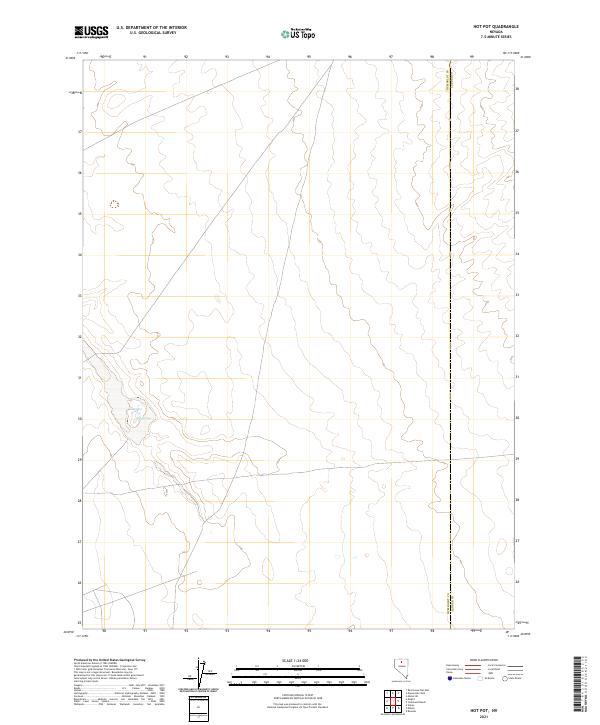
2021 Map of Hot Pot
USGS Topo · Published 2021About this map
Hot Pot and the nearby Hot Springs anchor this sparsely developed landscape along the boundary of Humboldt and Lander Counties. The topography is defined by the subtle variations of the high desert, where thermal activity has created these named landmarks. Apart from these geothermal features and a network of unimproved roads, the map illustrates the vast, open character of this Great Basin region. The strictly rectangular grid of township lines, including t35n r44e and t36n r43e, indicates the systematic Bureau of Land Management surveying that governs this portion of Nevada. This map provides a precise look at the land ownership and jurisdictional lines in an area where natural water sources and thermal activity were critical for early navigation and land use.
Find a feature on this map
7 named features on this map. Tap any name to fly to it.
Don’t see what you’re looking for? This feature index may not catch every label — zoom into the map to look around manually.
Map Details
Editions of this 2021 Hot Pot Map
This is the sole edition of this map. No revisions or reprints were ever made.
Other maps of this area

1882 · Paradise
USGS Topo · 1:250,000

1893 · Paradise
USGS Topo · 1:250,000

1932 · Sonoma Range
USGS Topo · 1:250,000

1939 · Sonoma Range
USGS Topo · 1:250,000

1955 · McDermitt
USGS Topo · 1:250,000

1955 · Winnemucca
USGS Topo · 1:250,000

1958 · Winnemucca
USGS Topo · 1:250,000

1959 · McDermitt
USGS Topo · 1:250,000

1962 · Winnemucca
USGS Topo · 1:250,000

1965 · Knight
USGS Topo · 1:24,000