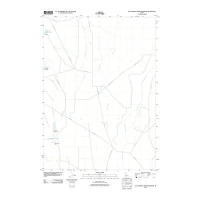
2010 Map of Hot Springs Creek Reservoir
USGS Topo · Published 2010About this map
Hot Springs Creek Reservoir and the Lower Teapot Reservoir anchor this arid landscape in Elmore County, where water management is the primary defining feature. The terrain is marked by a series of drainage systems, including Bennett Creek, Ryegrass Creek, and Cold Springs Creek, all flowing toward the Snake River plain. The map documents the infrastructure required to harness these seasonal flows, specifically identifying several barriers such as Hall Dam and Teapot-Lower Dam. A network of rural roads, including Bennett Rd and Rye Grass Cutoff Rd, provides access through the open range. The presence of Hot Springs Number Two Dam suggests a history of sequential water development in this high desert environment, serving as a point of interest for those tracking land use and resource management in southern Idaho.
Find a feature on this map
18 named features on this map. Tap any name to fly to it.
Don’t see what you’re looking for? This feature index may not catch every label — zoom into the map to look around manually.
Map Details
Editions of this 2010 Hot Springs Creek Reservoir Map
This is the sole edition of this map. No revisions or reprints were ever made.
Other maps of this area

1892 · Mountain Home
USGS Topo · 1:125,000

1892 · Camas Prairie
USGS Topo · 1:125,000

1893 · Mountain Home
USGS Topo · 1:125,000

1893 · Camas Prairie
USGS Topo · 1:125,000

1947 · Indian Cove
USGS Topo · 1:24,000

1947 · Hammett
USGS Topo · 1:24,000

1947 · Glenns Ferry
USGS Topo · 1:24,000

1948 · Hammett
USGS Topo · 1:24,000

1948 · Glenns Ferry
USGS Topo · 1:24,000

1948 · Indian Cove
USGS Topo · 1:24,000