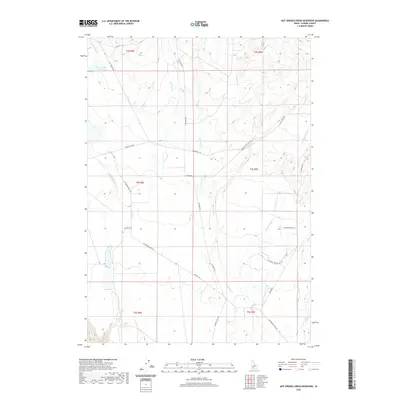
2020 Map of Hot Springs Creek Reservoir
USGS Topo · Published 2020About this map
Hot Springs Cr Reservoir sits in the northwest corner of this arid landscape, catching the flow of Hot Springs Cr as it descends through Elmore County. The terrain is defined by a series of north-south drainages including Bennett Cr, Ryegrass Cr, and Cold Springs Cr, which carve through the high plateau. Human activity is largely traced by a network of ranch roads and historic pathways, most notably the Old Oregon Trail Rd which cuts diagonally across the center of the sheet, marking the historical migration corridor through southern Idaho. Water sources like Lone Tree Spring provided essential relief in this high-desert environment. The map details the transition from the rolling uplands near Ross Rd down toward the Snake River plain south of Hammett Hill Rd, illustrating how the drainage patterns shaped the placement of local roads like Rye Grass Rd and Bennett Rd.
Find a feature on this map
28 named features on this map. Tap any name to fly to it.
Don’t see what you’re looking for? This feature index may not catch every label — zoom into the map to look around manually.
Map Details
Editions of this 2020 Hot Springs Creek Reservoir Map
This is the sole edition of this map. No revisions or reprints were ever made.
Other maps of this area

1892 · Mountain Home
USGS Topo · 1:125,000

1892 · Camas Prairie
USGS Topo · 1:125,000

1893 · Mountain Home
USGS Topo · 1:125,000

1893 · Camas Prairie
USGS Topo · 1:125,000

1947 · Indian Cove
USGS Topo · 1:24,000

1947 · Hammett
USGS Topo · 1:24,000

1947 · Glenns Ferry
USGS Topo · 1:24,000

1948 · Hammett
USGS Topo · 1:24,000

1948 · Glenns Ferry
USGS Topo · 1:24,000

1948 · Indian Cove
USGS Topo · 1:24,000