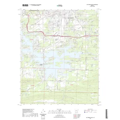
2020 Map of Hot Springs South
USGS Topo · Published 2020About this map
Hot Springs National Park anchors the northern portion of this 2020 landscape, where the urban street grid of Hot Springs meets the foothills of Music Mtn. This survey captures the detailed transition from the historic bathhouse city to the sprawling residential developments along the jagged northern shores of Lake Hamilton. The topography here is defined by the sharp contrast between the northern ridges and the water-dominated south, where numerous named points and coves like Bayou Pt mark the lake's complex shoreline.
Find a feature on this map
270 named features on this map. Tap any name to fly to it.
Don’t see what you’re looking for? This feature index may not catch every label — zoom into the map to look around manually.
Map Details
Editions of this 2020 Hot Springs South Map
This is the sole edition of this map. No revisions or reprints were ever made.
Other maps of this area

1890 · Benton
USGS Topo · 1:125,000

1890 · Hot Springs
USGS Topo · 1:125,000

1894 · Hot Springs
USGS Topo · 1:125,000

1894 · Benton
USGS Topo · 1:125,000

1948 · Malvern
USGS Topo · 1:62,500

1949 · Malvern
USGS Topo · 1:62,500

1955 · Little Rock
USGS Topo · 1:250,000

1956 · Little Rock
USGS Topo · 1:250,000

1960 · Little Rock
USGS Topo · 1:250,000

1964 · Little Rock
USGS Topo · 1:250,000