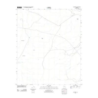
2011 Map of Hot Well
USGS Topo · Published 2011About this map
Whitlock Valley and the surrounding desert corridor define this corner of Greenlee County, characterized by a network of seasonal watercourses and remote ranching outposts. The drainage systems of Hot Well Draw, Rainville Wash, and Burro Wash carve through the arid landscape, converging toward the northeast where the Gila River briefly enters the frame. Human presence is sparse, centered on the settlement of Fox and the Cox Ranch in the western reaches of the valley.
Find a feature on this map
14 named features on this map. Tap any name to fly to it.
Don’t see what you’re looking for? This feature index may not catch every label — zoom into the map to look around manually.
Map Details
Editions of this 2011 Hot Well Map
This is the sole edition of this map. No revisions or reprints were ever made.
Other maps of this area

1954 · Silver City
USGS Topo · 1:250,000
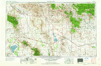
1958 · Silver City
USGS Topo · 1:250,000
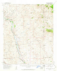
1959 · York Valley
USGS Topo · 1:62,500
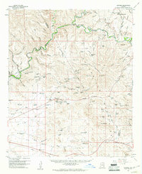
1960 · Guthrie
USGS Topo · 1:62,500
1960 · Duncan
USGS Topo · 1:62,500
1962 · Silver City
USGS Topo · 1:250,000
1966 · Whitlock Cienega
USGS Topo · 1:24,000
1966 · Whitlock Mts. NE
USGS Topo · 1:24,000
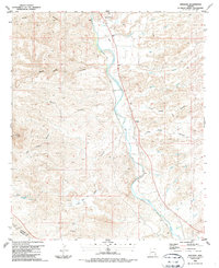
1986 · Sheldon
USGS Topo · 1:24,000
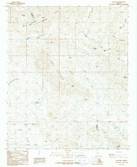
1986 · Ash Peak
USGS Topo · 1:24,000