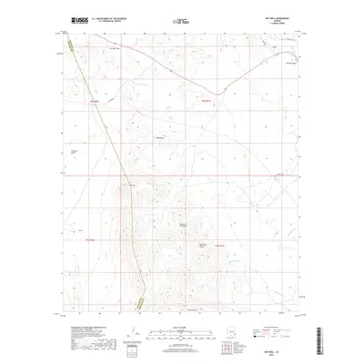
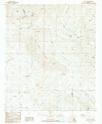
2018 Map of Hot Well
USGS Topo · Published 2018About this map
The Peloncillo Mountains dominate the southern half of this landscape, rising above the arid basins of the Whitlock Valley. The terrain is defined by a complex network of ephemeral drainages, including Rainville Wash, Burro Wash, and Hot Well Draw, which cut through the high desert floor toward the Gila River in the northeastern corner. This 2018 survey reveals a sparsely populated region on the border of Graham and Greenlee counties, where land use is largely centered around ranching and transit.
Find a feature on this map
22 named features on this map. Tap any name to fly to it.
Don’t see what you’re looking for? This feature index may not catch every label — zoom into the map to look around manually.
Map Details
Editions of this 2018 Hot Well Map
This is the sole edition of this map. No revisions or reprints were ever made.
Other maps of this area

1954 · Silver City
USGS Topo · 1:250,000

1958 · Silver City
USGS Topo · 1:250,000

1959 · York Valley
USGS Topo · 1:62,500

1960 · Guthrie
USGS Topo · 1:62,500

1960 · Duncan
USGS Topo · 1:62,500

1962 · Silver City
USGS Topo · 1:250,000
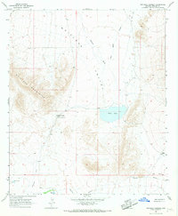
1966 · Whitlock Cienega
USGS Topo · 1:24,000
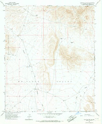
1966 · Whitlock Mts. NE
USGS Topo · 1:24,000
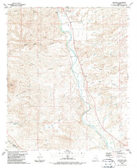
1986 · Sheldon
USGS Topo · 1:24,000
1986 · Ash Peak
USGS Topo · 1:24,000