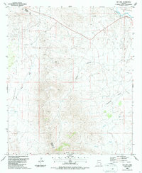
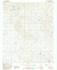
1986 Map of Hot Well
USGS Topo · Published 1987About this map
Whitlock Valley and the high desert terrain of southeastern Arizona are captured here in the mid-1980s, defined by a landscape of rugged canyons and seasonal watercourses. The Gila River cuts through the northern reaches of the quadrangle, paralleled by the vital transportation corridor of the Southern Pacific railroad. This area, straddling the boundary between Greenlee and Graham counties, shows a clear transition from the river valley into the broken terrain of Woods Canyon and Blackfield Canyon.
Find a feature on this map
19 named features on this map. Tap any name to fly to it.
Don’t see what you’re looking for? This feature index may not catch every label — zoom into the map to look around manually.
Map Details
Editions of this 1986 Hot Well Map
This is the sole edition of this map. No revisions or reprints were ever made.
Other maps of this area

1954 · Silver City
USGS Topo · 1:250,000

1958 · Silver City
USGS Topo · 1:250,000

1959 · York Valley
USGS Topo · 1:62,500

1960 · Guthrie
USGS Topo · 1:62,500

1960 · Duncan
USGS Topo · 1:62,500

1962 · Silver City
USGS Topo · 1:250,000
1966 · Whitlock Cienega
USGS Topo · 1:24,000
1966 · Whitlock Mts. NE
USGS Topo · 1:24,000
1986 · Sheldon
USGS Topo · 1:24,000
1986 · Ash Peak
USGS Topo · 1:24,000