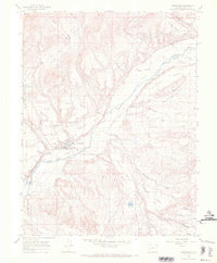
1965 Map of Hotchkiss
USGS Topo · Published 1969About this map
The North Fork Gunnison River carves a central path through this western Colorado landscape, flanked by a series of distinct agricultural plateaus including Sunshine Mesa, Stewart Mesa, and Rogers Mesa. The town of Hotchkiss serves as the primary hub, where the Denver and Rio Grande Western railroad tracks run parallel to the river. The complex network of water management features, such as Farmers Ditch, Western Canal, and Whipple Ditch, underscores the region's reliance on irrigation for valley farming.
Find a feature on this map
48 named features on this map. Tap any name to fly to it.
Don’t see what you’re looking for? This feature index may not catch every label — zoom into the map to look around manually.
Map Details
Editions of this 1965 Hotchkiss Map
3 editions found
Other maps of this area

1955 · Black Ridge
USGS Topo · 1:24,000

1955 · Lazear
USGS Topo · 1:24,000

1956 · Montrose
USGS Topo · 1:250,000

1959 · Montrose
USGS Topo · 1:250,000

1960 · Montrose
USGS Topo · 1:250,000
1965 · Gray Reservoir
USGS Topo · 1:24,000
1965 · Dry Creek
USGS Topo · 1:24,000
1965 · Paonia
USGS Topo · 1:24,000
1965 · Crawford
USGS Topo · 1:24,000
1965 · Bowie
USGS Topo · 1:24,000