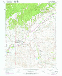
1965 Map of Hotchkiss
USGS Topo · Published 1980About this map
Agricultural development and water management define the landscape of Hotchkiss during this mid-1960s survey. The North Fork Gunnison River serves as the primary artery for the region, supporting an intricate network of irrigation including Farmers Ditch, Short DITCH, and Stewart Ditch. These systems sustain the fertile benches of Sunshine Mesa, Rogers Mesa, and Stewart Mesa, where the town's growth is anchored by civic markers like the County Fairground, the High School, and a local Cemetery.
Find a feature on this map
46 named features on this map. Tap any name to fly to it.
Don’t see what you’re looking for? This feature index may not catch every label — zoom into the map to look around manually.
Map Details
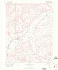
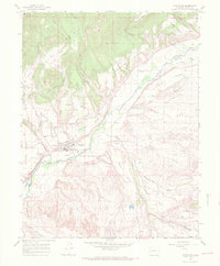
Editions of this 1965 Hotchkiss Map
3 editions found
Other maps of this area

1955 · Black Ridge
USGS Topo · 1:24,000

1955 · Lazear
USGS Topo · 1:24,000

1956 · Montrose
USGS Topo · 1:250,000

1959 · Montrose
USGS Topo · 1:250,000

1960 · Montrose
USGS Topo · 1:250,000
1965 · Gray Reservoir
USGS Topo · 1:24,000
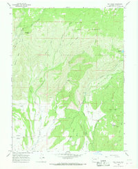
1965 · Dry Creek
USGS Topo · 1:24,000
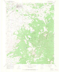
1965 · Paonia
USGS Topo · 1:24,000
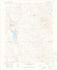
1965 · Crawford
USGS Topo · 1:24,000
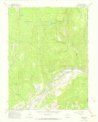
1965 · Bowie
USGS Topo · 1:24,000