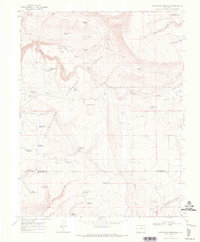
1967 Map of Hotchkiss Reservoir
USGS Topo · Published 1971About this map
Uncompahgre National Forest dominates this mid-century survey, revealing a landscape defined by high-altitude water management and seasonal camps. The geography is marked by numerous small-scale water storage sites, such as Hotchkiss Reservoir, Barnes Mill Reservoir, and Tikka Reservoir, which were critical for managing runoff in this arid environment. The presence of several established camps, including P D C Camp, Galloway Camp, and Jutten Camp, suggests a history of localized resource extraction or ranching activity.
Find a feature on this map
47 named features on this map. Tap any name to fly to it.
Don’t see what you’re looking for? This feature index may not catch every label — zoom into the map to look around manually.
Map Details
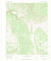
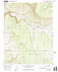
Editions of this 1967 Hotchkiss Reservoir Map
3 editions found
Other maps of this area

1909 · Montrose
USGS Topo · 1:125,000

1911 · Montrose
USGS Topo · 1:125,000

1953 · Placerville
USGS Topo · 1:24,000

1956 · Montrose
USGS Topo · 1:250,000

1956 · Moab
USGS Topo · 1:250,000

1959 · Moab
USGS Topo · 1:250,000

1959 · Montrose
USGS Topo · 1:250,000

1960 · Montrose
USGS Topo · 1:250,000

1960 · Moab
USGS Topo · 1:250,000

1962 · Moab
USGS Topo · 1:250,000