
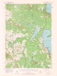
1956 Map of Houghton Lake
USGS Topo · Published 1958About this map
Houghton Lake and Higgins Lake dominate this mid-century landscape, connected by the winding course of the Muskegon River. The map captures the transitional character of the region as traditional agriculture and forestry began to blend with growing recreational interests. Evidence of early land management is visible at the Houghton Lake State Game Farm and within the vast reaches of the Houghton Lake State Forest. Small settlements such as Michelson and Merritt serve as local hubs, while markers of civic life include several rural cemeteries like Moorestown Cem and Star City Cem.
Find a feature on this map
56 named features on this map. Tap any name to fly to it.
Don’t see what you’re looking for? This feature index may not catch every label — zoom into the map to look around manually.
Map Details
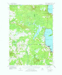
Editions of this 1956 Houghton Lake Map
3 editions found
Other maps of this area

1949 · Fletcher
USGS Topo · 1:62,500

1949 · Grayling
USGS Topo · 1:62,500

1950 · Cote Dame Marie
USGS Topo · 1:24,000

1950 · Fletcher
USGS Topo · 1:24,000

1951 · Pere Cheney
USGS Topo · 1:24,000

1954 · Traverse City
USGS Topo · 1:250,000

1956 · Kalkaska
USGS Topo · 1:62,500

1956 · Lake City
USGS Topo · 1:62,500

1957 · Harrison
USGS Topo · 1:62,500

1957 · Marion
USGS Topo · 1:62,500