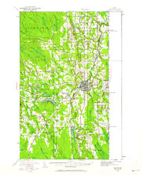
1951 Map of Houlton
USGS Topo · Published 1962About this map
Houlton serves as the focal point of this 1951 revision, which captures the international character of the Maine-New Brunswick borderlands. The convergence of the Bangor and Aroostook and Canadian Pacific railroads highlights the region's importance as a transportation hub for the timber and agricultural industries. Beyond the town center, the landscape is defined by the Meduxnekeag River and a network of outlying agricultural hamlets like Porter Settlement, Carys Mills, and Starkey Corners. Technological infrastructure of the mid-century is evident through the presence of a Transoceanic Telephone Receiving Station and a Radio Range Station, while local community life is anchored by numerous rural schoolhouses such as Clough Sch and Rideout Sch. The terrain transitions from the developed river valleys to the heights of Adams Mtn and Drew Hill.
Find a feature on this map
92 named features on this map. Tap any name to fly to it.
Don’t see what you’re looking for? This feature index may not catch every label — zoom into the map to look around manually.
Map Details
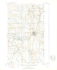
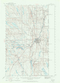
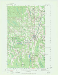
Editions of this 1951 Houlton Map
5 editions found

Other maps of this area

1934 · Bridgewater
USGS Topo · 1:48,000

1935 · Howe Brook
USGS Topo · 1:48,000

1937 · Smyrna Mills
USGS Topo · 1:62,500

1938 · Bridgewater
USGS Topo · 1:62,500

1938 · Houlton
USGS Topo · 1:62,500

1939 · Howe Brook
USGS Topo · 1:62,500

1940 · Amity
USGS Topo · 1:62,500

1941 · Amity
USGS Topo · 1:62,500

1941 · Mattawamkeag Lake
USGS Topo · 1:62,500

1943 · Amity
USGS Topo · 1:62,500