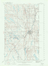
1951 Map of Houlton
USGS Topo · Published 1971About this map
Houlton serves as the focal point of this Aroostook County survey, where the Bangor and Aroostook and Canadian Pacific railroads converge near the international border. The landscape is defined by the winding Meduxnekeag River and its numerous tributaries, supporting a mix of agricultural settlements and specialized infrastructure. Distinctive landmarks of the early Cold War era include a Transoceanic Telephone Receiving Station and a Radio Range Station located just west of the border line.
Find a feature on this map
87 named features on this map. Tap any name to fly to it.
Don’t see what you’re looking for? This feature index may not catch every label — zoom into the map to look around manually.
Map Details
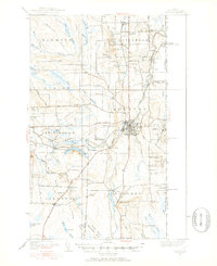
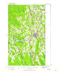
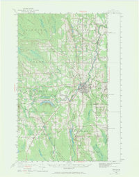
Editions of this 1951 Houlton Map
5 editions found

Other maps of this area

1934 · Bridgewater
USGS Topo · 1:48,000

1935 · Howe Brook
USGS Topo · 1:48,000

1937 · Smyrna Mills
USGS Topo · 1:62,500

1938 · Bridgewater
USGS Topo · 1:62,500

1938 · Houlton
USGS Topo · 1:62,500

1939 · Howe Brook
USGS Topo · 1:62,500

1940 · Amity
USGS Topo · 1:62,500

1941 · Amity
USGS Topo · 1:62,500

1941 · Mattawamkeag Lake
USGS Topo · 1:62,500

1943 · Amity
USGS Topo · 1:62,500