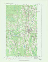
1951 Map of Houlton
USGS Topo · Published 1971About this map
The Meduxnekeag River snakes through this Aroostook County landscape, centering on the bustling international hub of Houlton. In the early 1950s, the area served as a vital crossroads for both the Bangor and Aroostook RR and the Canadian Pacific RR, which facilitated trade and travel across the United States Canada border. Beyond the town center, the map reveals a high density of rural schoolhouses and neighborhood markers such as Porter Settlement and Carys Mills, alongside industrial landmarks like the Transoceanic Telephone Receiving Station and a local Fish Hatchery. To the south and west, the terrain shifts from the developed grid of Hodgdon to the more varied waters of Nickerson Lake and the peak of Adams Mtn, illustrating the transition from agricultural and timber lands to the northern wilderness.
Find a feature on this map
98 named features on this map. Tap any name to fly to it.
Don’t see what you’re looking for? This feature index may not catch every label — zoom into the map to look around manually.
Map Details
Editions of this 1951 Houlton Map
5 editions found

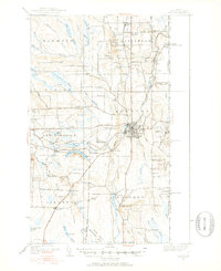
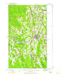
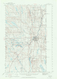
Other maps of this area

1934 · Bridgewater
USGS Topo · 1:48,000

1935 · Howe Brook
USGS Topo · 1:48,000

1937 · Smyrna Mills
USGS Topo · 1:62,500

1938 · Bridgewater
USGS Topo · 1:62,500

1938 · Houlton
USGS Topo · 1:62,500

1939 · Howe Brook
USGS Topo · 1:62,500

1940 · Amity
USGS Topo · 1:62,500

1941 · Amity
USGS Topo · 1:62,500

1941 · Mattawamkeag Lake
USGS Topo · 1:62,500

1943 · Amity
USGS Topo · 1:62,500