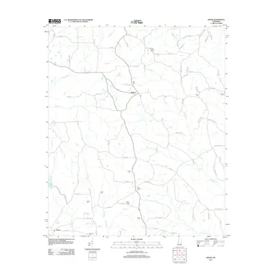
2012 Map of House
USGS Topo · Published 2012About this map
Okatibbee Creek and its many tributaries, including Cushtusia Creek and Tallashua Creek, define the drainage patterns of this Neshoba County landscape. The settlement of House lies in the southwest corner, while DeWeese sits further north, connected by a network of rural routes such as Old Jackson Road and County Road 456. The area is notably dense with small family and community burial grounds, which serve as vital markers for local genealogical research. Sites like Hesters Chapel Cemetery, Mars Hill Cemetery, and Old Herbert Cemetery are scattered throughout the rural sections. Aviation presence is noted at the Mc Lain - Calico Airport in the north, while the landscape remains largely defined by its creek systems and timbered tracts, punctuated by landmarks like House Lake.
Find a feature on this map
84 named features on this map. Tap any name to fly to it.
Don’t see what you’re looking for? This feature index may not catch every label — zoom into the map to look around manually.
Map Details
Editions of this 2012 House Map
This is the sole edition of this map. No revisions or reprints were ever made.
Other maps of this area

1953 · Meridian
USGS Topo · 1:250,000

1957 · Meridian
USGS Topo · 1:250,000

1962 · House
USGS Topo · 1:24,000

1962 · Lynville
USGS Topo · 1:24,000

1962 · Owl Creek
USGS Topo · 1:24,000

1962 · Center Hill
USGS Topo · 1:24,000

1962 · Post
USGS Topo · 1:24,000

1962 · Moscow
USGS Topo · 1:24,000

1965 · Meridian
USGS Topo · 1:250,000

1972 · Deemer
USGS Topo · 1:24,000