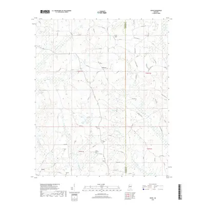
2018 Map of House
USGS Topo · Published 2018About this map
Bogue Chitto and Cushtusa Creek define the drainage of this central Mississippi landscape, where the small settlements of House and DeWeese serve as local anchors. The map reveals a dense network of country cemeteries, including Mars Hill Cem and Hesters Chapel Cem, which reflect the area's deep-rooted family histories and rural church communities. The border between Neshoba and Kemper counties runs through the eastern portion of the survey, dividing several smaller tributaries like Houston Creek. To the north, the Mc Lain - Calico Airport stands out as a modern transportation marker amidst the rolling woodlands. The terrain is crisscrossed by many local roads such as Pilgrim Durant Road and Hopewell Road, providing clear context for researchers tracking the evolution of this agricultural and timber region.
Find a feature on this map
86 named features on this map. Tap any name to fly to it.
Don’t see what you’re looking for? This feature index may not catch every label — zoom into the map to look around manually.
Map Details
Editions of this 2018 House Map
This is the sole edition of this map. No revisions or reprints were ever made.
Other maps of this area

1953 · Meridian
USGS Topo · 1:250,000

1957 · Meridian
USGS Topo · 1:250,000

1962 · House
USGS Topo · 1:24,000

1962 · Lynville
USGS Topo · 1:24,000

1962 · Owl Creek
USGS Topo · 1:24,000

1962 · Center Hill
USGS Topo · 1:24,000

1962 · Post
USGS Topo · 1:24,000

1962 · Moscow
USGS Topo · 1:24,000

1965 · Meridian
USGS Topo · 1:250,000

1972 · Deemer
USGS Topo · 1:24,000