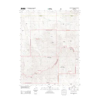
2013 Map of Housetop Mountain
USGS Topo · Published 2013About this map
Housetop Mountain rises as a central landmark within this high-elevation landscape along the boundary of White River National Forest and Grand Mesa National Forest. The 2013 survey illustrates a complex system of drainage and relief, where Wallace Creek and the North Fork Wallace Creek carve through the northern reaches near the Garfield and Mesa County line. To the south, the terrain descends through a series of named gulches, including Jerry Gulch and Atwell Gulch, which feed into the Horsethief Creek drainage. The map provides a detailed view of the mesa systems characteristic of the region, specifically Creek Mesa and Samson Mesa in the northwest. Access into these public lands is traced via Housetop Mountain Rd and CO Road 319, offering a look at the infrastructure supporting forestry and grazing in the modern era.
Find a feature on this map
36 named features on this map. Tap any name to fly to it.
Don’t see what you’re looking for? This feature index may not catch every label — zoom into the map to look around manually.
Map Details
Editions of this 2013 Housetop Mountain Map
This is the sole edition of this map. No revisions or reprints were ever made.
Other maps of this area

1929 · Grand Valley
USGS Topo · 1:62,500

1955 · Collbran
USGS Topo · 1:24,000

1955 · Mesa
USGS Topo · 1:24,000

1955 · Molina
USGS Topo · 1:24,000

1956 · Grand Junction
USGS Topo · 1:250,000

1957 · Leadville
USGS Topo · 1:250,000

1959 · Grand Junction
USGS Topo · 1:250,000

1959 · Leadville
USGS Topo · 1:250,000

1960 · Leadville
USGS Topo · 1:250,000

1960 · Grand Junction
USGS Topo · 1:250,000