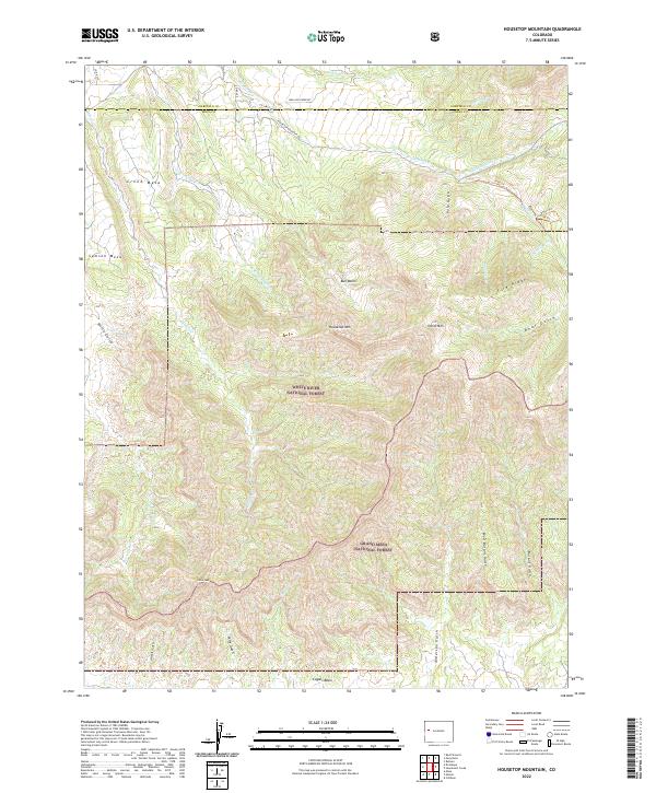
2022 Map of Housetop Mountain
USGS Topo · Published 2022About this map
The rugged topography of the Colorado River drainage unfolds across this 2022 survey, dominated by the distinct elevations of Housetop Mtn and Horse Mtn. The landscape is defined by the high, flat expanses of Creek Mesa and Samson Mesa, which are deeply incised by drainages like Wallace Cr and Spring Cr. This area serves as a significant intersection of public lands, where the boundaries of the White River National Forest and Grand Mesa National Forest meet. These protected lands preserve a complex network of canyons and ridges, including Fire Ridge and the prominent Castle Peak. Local infrastructure is sparse, characterized by winding routes such as Housetop Mountain Rd and Wallace Creek Rd that navigate the varied terrain between Garfield Co and Mesa Co.
Find a feature on this map
39 named features on this map. Tap any name to fly to it.
Don’t see what you’re looking for? This feature index may not catch every label — zoom into the map to look around manually.
Map Details
Editions of this 2022 Housetop Mountain Map
This is the sole edition of this map. No revisions or reprints were ever made.
Other maps of this area

1929 · Grand Valley
USGS Topo · 1:62,500

1955 · Collbran
USGS Topo · 1:24,000

1955 · Mesa
USGS Topo · 1:24,000

1955 · Molina
USGS Topo · 1:24,000

1956 · Grand Junction
USGS Topo · 1:250,000

1957 · Leadville
USGS Topo · 1:250,000

1959 · Grand Junction
USGS Topo · 1:250,000

1959 · Leadville
USGS Topo · 1:250,000

1960 · Leadville
USGS Topo · 1:250,000

1960 · Grand Junction
USGS Topo · 1:250,000