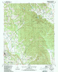
1987 Map of Houston East
USGS Topo · Published 1987About this map
Tombigbee National Forest dominates much of the eastern terrain in this part of Chickasaw County, providing a landscape punctuated by landmarks like Witch Dance Hill and the Witch Dance Picnic Area. To the southwest, the town of Houston serves as a regional hub, featuring the Chickasaw Co Coliseum, a Golf Course, and a Drive-in Theater. The map also captures the archaeological significance of the region at Bynum Mounds, located near the Natchez Trace Parkway.
Find a feature on this map
50 named features on this map. Tap any name to fly to it.
Don’t see what you’re looking for? This feature index may not catch every label — zoom into the map to look around manually.
Map Details
Editions of this 1987 Houston East Map
This is the sole edition of this map. No revisions or reprints were ever made.
Historical Maps of Houston Through Time
20 maps found
1966 Troy
Chickasaw County, MS
1966 Troy SE
Chickasaw County, MS

1972 Houlka
Chickasaw County, MS
1972 Houston West
Chickasaw County, MS
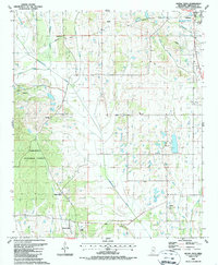
1987 Buena Vista
Chickasaw County, MS
1987 Houston East
Chickasaw County, MS
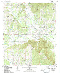
1987 Sparta
Chickasaw County, MS
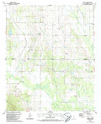
1987 Trebloc
Chickasaw County, MS
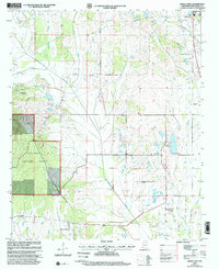
2000 Buena Vista
Chickasaw County, MS
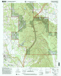
2000 Houston East
Chickasaw County, MS
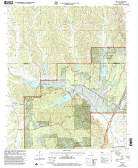
2000 Troy
Chickasaw County, MS
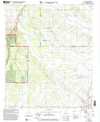
2000 Troy SE
Chickasaw County, MS
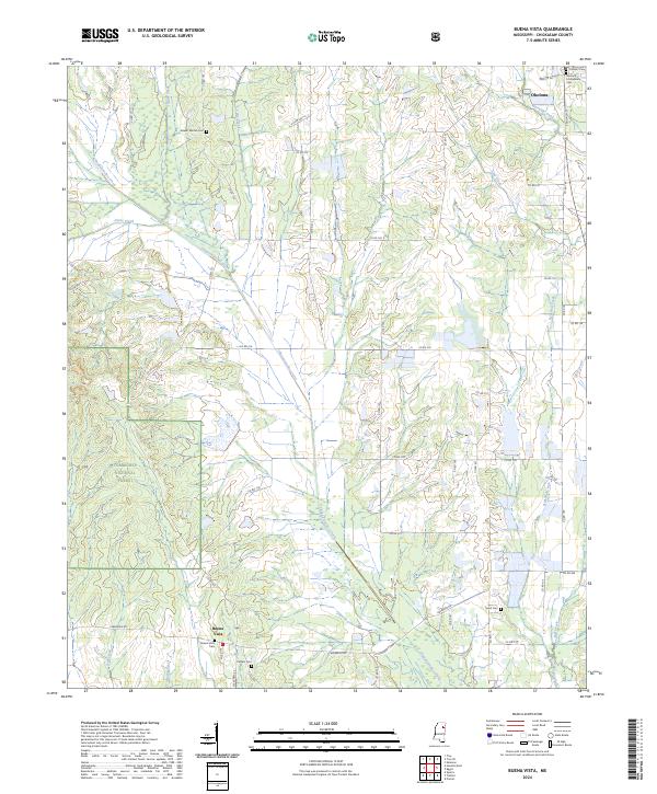
2024 Buena Vista
Chickasaw County, MS
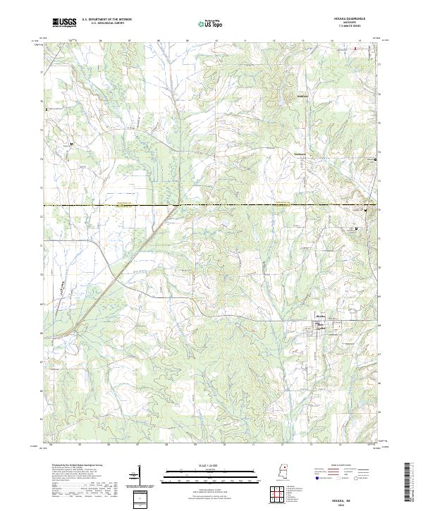
2024 Houlka
Chickasaw County, MS
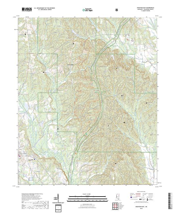
2024 Houston East
Chickasaw County, MS
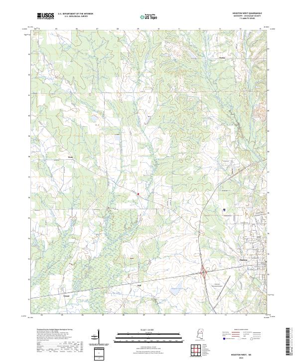
2024 Houston West
Chickasaw County, MS
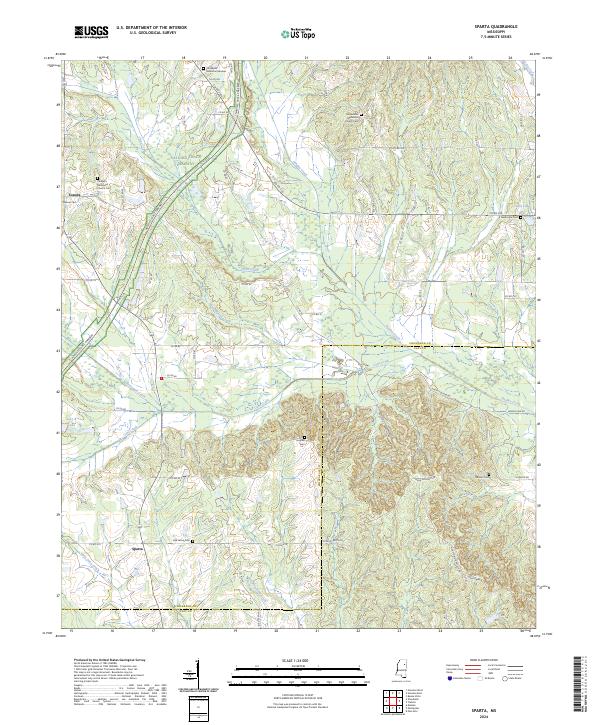
2024 Sparta
Chickasaw County, MS
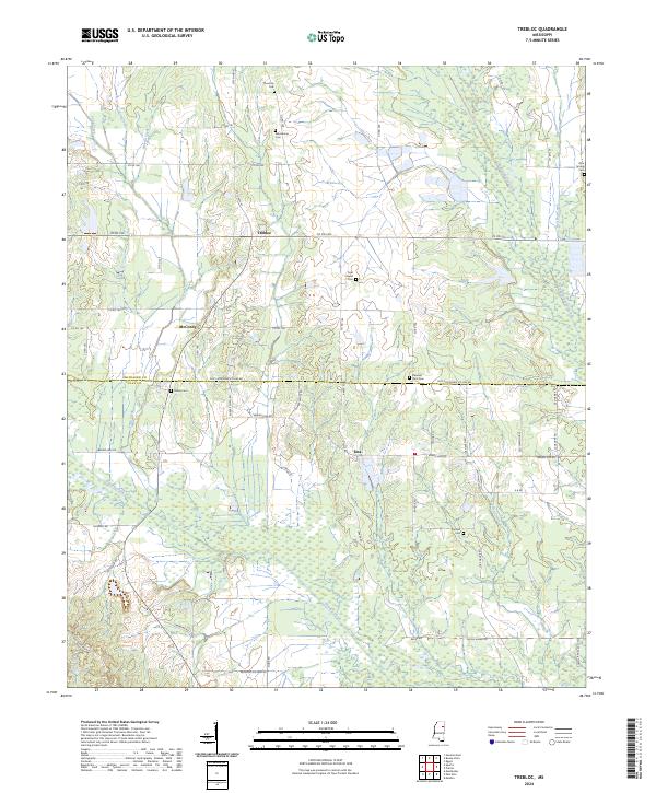
2024 Trebloc
Chickasaw County, MS
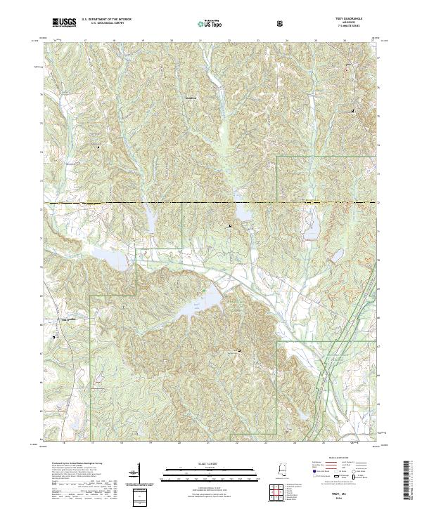
2024 Troy
Chickasaw County, MS
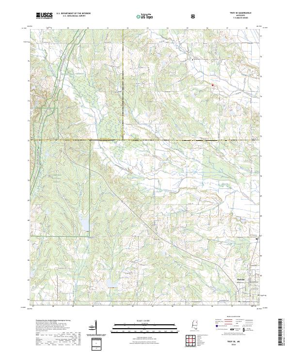
2024 Troy SE
Chickasaw County, MS