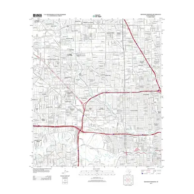
2013 Map of Houston Heights
USGS Topo · Published 2013About this map
Houston Heights and the surrounding urban grid of north-central Houston reveal a landscape defined by historic preservation and industrial infrastructure. The area is dense with heritage designations, including the Independence Heights Residential Historic District and the Freedmens Town Historic District near the southern edge. The central portion of the map is dominated by the sprawling Eureka Yard and the network of the Katy Fwy and N Loop W, which cut through long-established residential enclaves like Garden Oaks and Shady Acres. Along the natural corridors of Whiteoak Bayou and Buffalo Bayou, the terrain transition is marked by a series of significant burial grounds, from the large Glenwood Cem and Washington Cem to the smaller Adath Israel Cem. Local industry is anchored by sites like the Oriental Textile Mill, highlighting the intersection of neighborhood life and commercial production in this era.
Find a feature on this map
103 named features on this map. Tap any name to fly to it.
Don’t see what you’re looking for? This feature index may not catch every label — zoom into the map to look around manually.
Map Details
Editions of this 2013 Houston Heights Map
This is the sole edition of this map. No revisions or reprints were ever made.
Other maps of this area

1915 · Bellaire
USGS Topo · 1:24,000

1915 · Park Place
USGS Topo · 1:24,000

1915 · Houston Heights
USGS Topo · 1:24,000

1915 · Alief
USGS Topo · 1:24,000

1915 · Hillendahl
USGS Topo · 1:24,000

1916 · Aldine
USGS Topo · 1:24,000

1916 · Settegast
USGS Topo · 1:24,000

1916 · Satsuma
USGS Topo · 1:24,000

1916 · Humble
USGS Topo · 1:24,000

1918 · Hillendahl
USGS Topo · 1:31,680