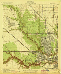
1922 Map of Houston Heights
USGS Topo · Published 1922About this map
Houston Heights and Independence Heights emerge as significant planned communities northwest of downtown Houston during this post-World War I era. The landscape is defined by the sharp contrast between the formal grid of the Military Addition and the winding, deeply etched ravines of Whiteoak Bayou and Buffalo Bayou. While the city’s residential expansion is evident in neighborhoods like Sunset Heights and Cottage Grove, much of the surrounding terrain remains undeveloped or industrial, featuring a Sawmill and numerous gullies like Brickhouse Gully.
Find a feature on this map
29 named features on this map. Tap any name to fly to it.
Don’t see what you’re looking for? This feature index may not catch every label — zoom into the map to look around manually.
Map Details
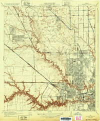
Editions of this 1922 Houston Heights Map
2 editions found
Other maps of this area

1915 · Bellaire
USGS Topo · 1:24,000

1915 · Park Place
USGS Topo · 1:24,000

1915 · Houston Heights
USGS Topo · 1:24,000

1915 · Alief
USGS Topo · 1:24,000

1915 · Hillendahl
USGS Topo · 1:24,000

1916 · Aldine
USGS Topo · 1:24,000

1916 · Settegast
USGS Topo · 1:24,000

1916 · Satsuma
USGS Topo · 1:24,000

1916 · Humble
USGS Topo · 1:24,000

1918 · Hillendahl
USGS Topo · 1:31,680