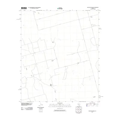
2010 Map of Houston Ranch
USGS Topo · Published 2010About this map
Old Houston Place anchors this high plains landscape in Glasscock County, where ranching legacies and seasonal watercourses define the terrain. The area is marked by a network of rural routes like Co RD 415 and S FM 818, connecting dispersed holdings such as Houston Ranch, Stone Ranch, and Cross Ranch. These names suggest a history of large-scale land use and family operations in a part of West Texas where water management is paramount. Drainage patterns are clearly etched into the map by Hamilton Draw and Mustang Draw, which snake across the property lines toward the southern rise of Hog Mountain. Small clusters of activity at Hamilton and Lomax reflect the scattered nature of community centers in this open country, providing vital reference points for local history and land ownership research during the early 21st century.
Find a feature on this map
20 named features on this map. Tap any name to fly to it.
Don’t see what you’re looking for? This feature index may not catch every label — zoom into the map to look around manually.
Map Details
Editions of this 2010 Houston Ranch Map
This is the sole edition of this map. No revisions or reprints were ever made.
Other maps of this area

1941 · Morita
USGS Topo · 1:62,500

1949 · Morita
USGS Topo · 1:62,500

1954 · Big Spring
USGS Topo · 1:250,000

1954 · San Angelo
USGS Topo · 1:250,000

1958 · San Angelo
USGS Topo · 1:250,000

1958 · Big Spring
USGS Topo · 1:250,000

1964 · Dewey Lake NE
USGS Topo · 1:24,000

1965 · San Angelo
USGS Topo · 1:250,000

1965 · Dewey Lake
USGS Topo · 1:24,000

1965 · Spraberry
USGS Topo · 1:24,000