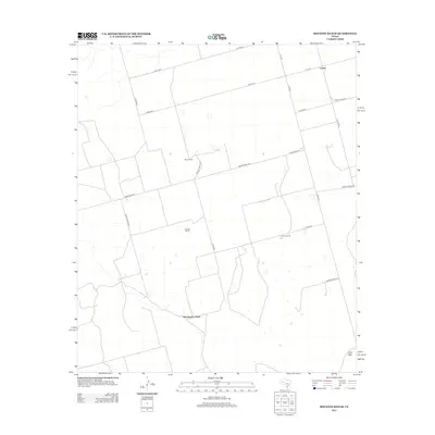
2012 Map of Houston Ranch
USGS Topo · Published 2012About this map
Old Houston Place and the surrounding ranchlands of Glasscock County define this West Texas landscape. The map illustrates a region of dispersed settlement and significant agricultural operations, centered around established family-named properties like Houston Ranch, Stone Ranch, and Cross Ranch. These names reflect the enduring pastoral heritage of the Permian Basin fringe, where large landholdings are connected by a network of rural roads such as Farm Road 307 and Ranch Road 818. To the northeast, the small community of Lomax sits near the intersection of several county routes, providing a rare cluster of development. The topography is largely uniform, though Hog Mtn rises in the southeast corner as a prominent landmark above the surrounding plains. Private access roads and irrigation patterns across the grid suggest the ongoing management of this arid ranching territory.
Find a feature on this map
25 named features on this map. Tap any name to fly to it.
Don’t see what you’re looking for? This feature index may not catch every label — zoom into the map to look around manually.
Map Details
Editions of this 2012 Houston Ranch Map
This is the sole edition of this map. No revisions or reprints were ever made.
Other maps of this area

1941 · Morita
USGS Topo · 1:62,500

1949 · Morita
USGS Topo · 1:62,500

1954 · Big Spring
USGS Topo · 1:250,000

1954 · San Angelo
USGS Topo · 1:250,000

1958 · San Angelo
USGS Topo · 1:250,000

1958 · Big Spring
USGS Topo · 1:250,000

1964 · Dewey Lake NE
USGS Topo · 1:24,000

1965 · San Angelo
USGS Topo · 1:250,000

1965 · Dewey Lake
USGS Topo · 1:24,000

1965 · Spraberry
USGS Topo · 1:24,000