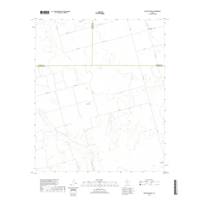
2019 Map of Houston Ranch
USGS Topo · Published 2019About this map
Houston Ranch and the small community of Lomax anchor this West Texas landscape where the borders of Martin, Howard, and Glasscock counties converge. The terrain is defined by the intermittent drainages of Mustang Draw and Hamilton Draw, which carve subtle paths across the high plains. This 2019 survey documents a rural environment shaped by large-scale ranching and a sparse network of county roads, including Co Rd 10 and Farm Rd 307. In the southeastern corner, Hog Mtn provides a distinct topographic landmark rising above the surrounding flats. The map detail reflects the modern infrastructure of the Permian Basin region, showing the persistent placement of family-named ranches and the primary transit corridors like S Fm 818 that connect these isolated settlements.
Find a feature on this map
20 named features on this map. Tap any name to fly to it.
Don’t see what you’re looking for? This feature index may not catch every label — zoom into the map to look around manually.
Map Details
Editions of this 2019 Houston Ranch Map
This is the sole edition of this map. No revisions or reprints were ever made.
Other maps of this area

1941 · Morita
USGS Topo · 1:62,500

1949 · Morita
USGS Topo · 1:62,500

1954 · Big Spring
USGS Topo · 1:250,000

1954 · San Angelo
USGS Topo · 1:250,000

1958 · San Angelo
USGS Topo · 1:250,000

1958 · Big Spring
USGS Topo · 1:250,000

1964 · Dewey Lake NE
USGS Topo · 1:24,000

1965 · San Angelo
USGS Topo · 1:250,000

1965 · Dewey Lake
USGS Topo · 1:24,000

1965 · Spraberry
USGS Topo · 1:24,000